

Page path:
- Home
- Our Methods
- Expeditions
- Ship's logs
- Ship'slog MSM136
Ship'slog MSM136
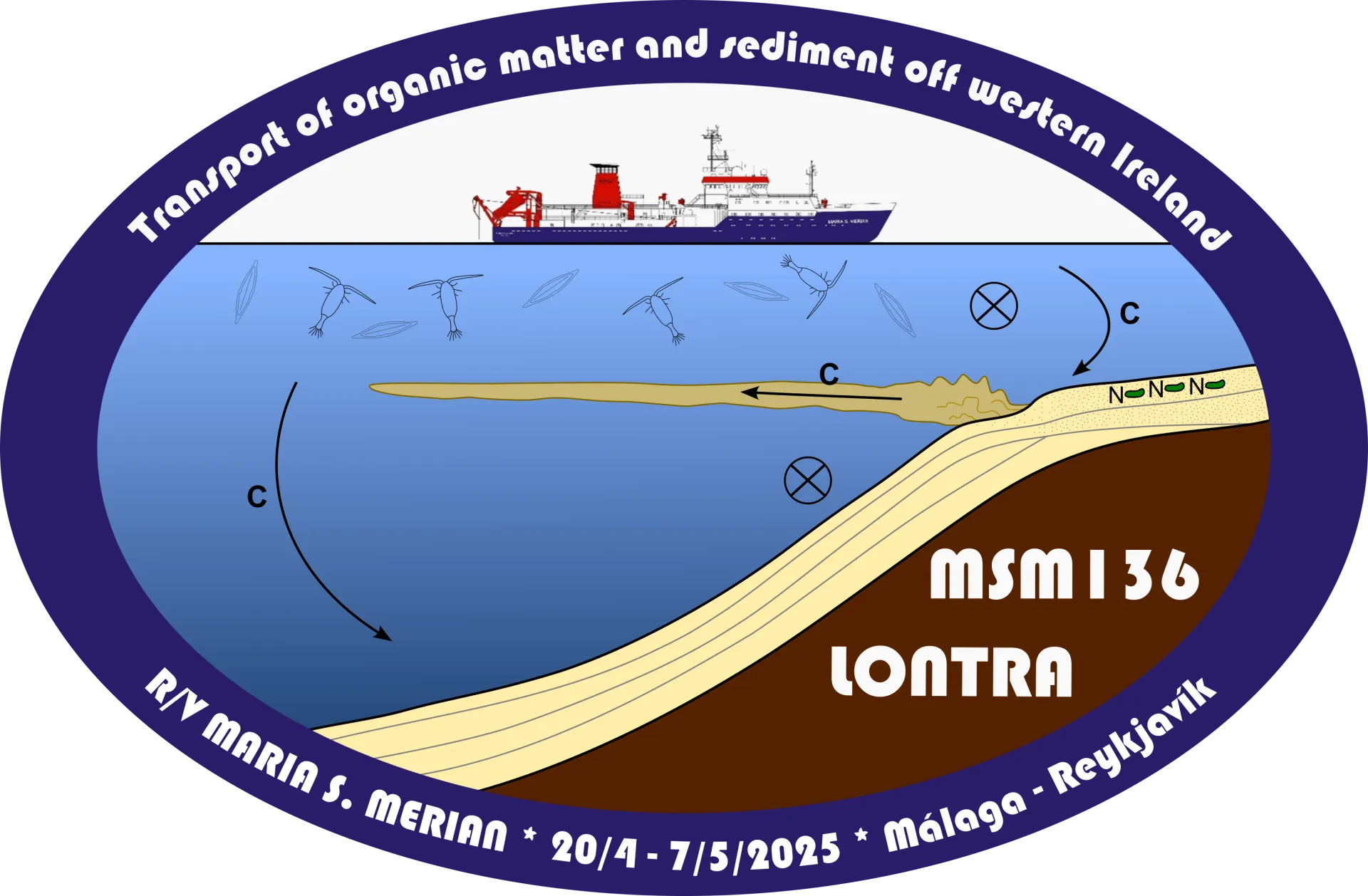
Expedition MSM136 “LONTRA” – Along- and across-slope transport of organic matter and sediment off western Ireland
April 20 - May 7, 2025
Malaga (Spain) - Reykjavik (Iceland)
Cruise leader: Prof. Dr. Elda Miramontes
What happens to decayed plankton, sediment and tiny plastic particles when they sink from the surface to the bottom of the ocean? And what contribution does the European shelf sea make to the global carbon cycle? The scientific expedition MSM136 on the research vessel MARIA S. MERIAN is investigating these questions. Under the scientific lead of Prof. Dr. Elda Miramontes, MARUM – Center for Marine Environmental Sciences and Department of Geosciences at the University of Bremen, an international team is investigating the complex transport processes in the Northeast Atlantic. The expedition has started on April 20 in Malaga, Spain, with the shelf area off the west coast of Ireland as its working destination.
The team of expedition MSM136 reports on the journey and everyday life on board in an expedition logbook:
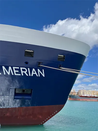
The bow of the research vessel MARIA S. MERIAN in the port of Malaga. Photo: MARUM - Center for Marine Environmental Sciences, University of Bremen; C. Brendel
Further information:
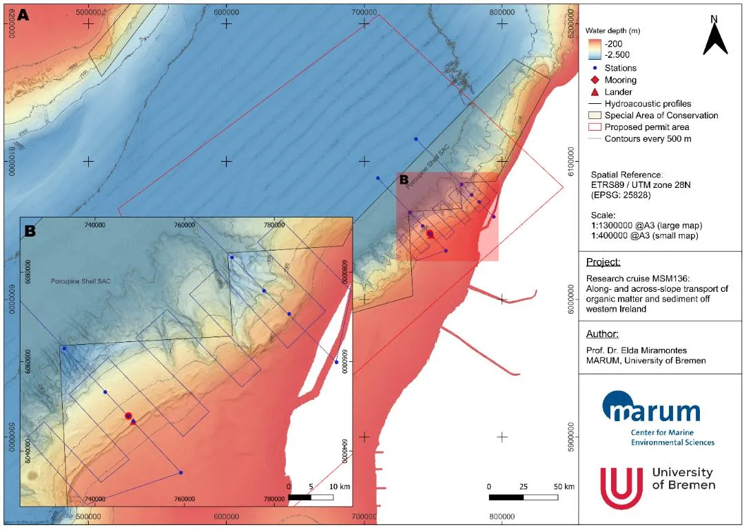
The cruise's working area is located on the continental slope and shelf off the west coast of Ireland. Graphic: MARUM – Center for Marine Environmental Sciences, University of Bremen, E. Miramontes
April 19: Starting in southern Spain
The weather was perfect in Málaga when we arrived. The research vessel MARIA S. MERIAN and its crew are already waiting for us in the harbor. We use the time in the quiet harbor to unpack and set up the scientific equipment and move into the laboratories.
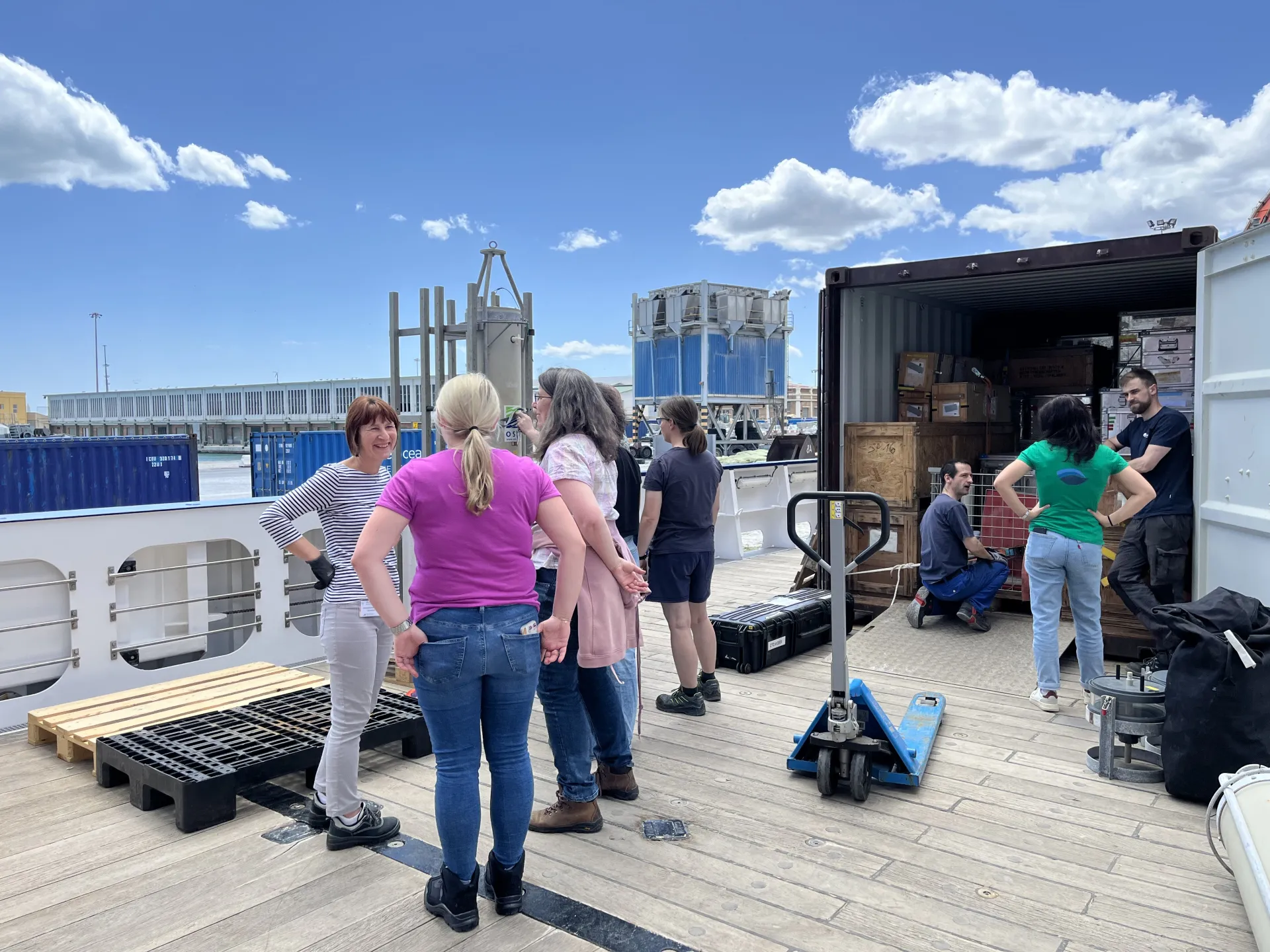
Scientists and technicians discuss where the scientific equipment will be unloaded.
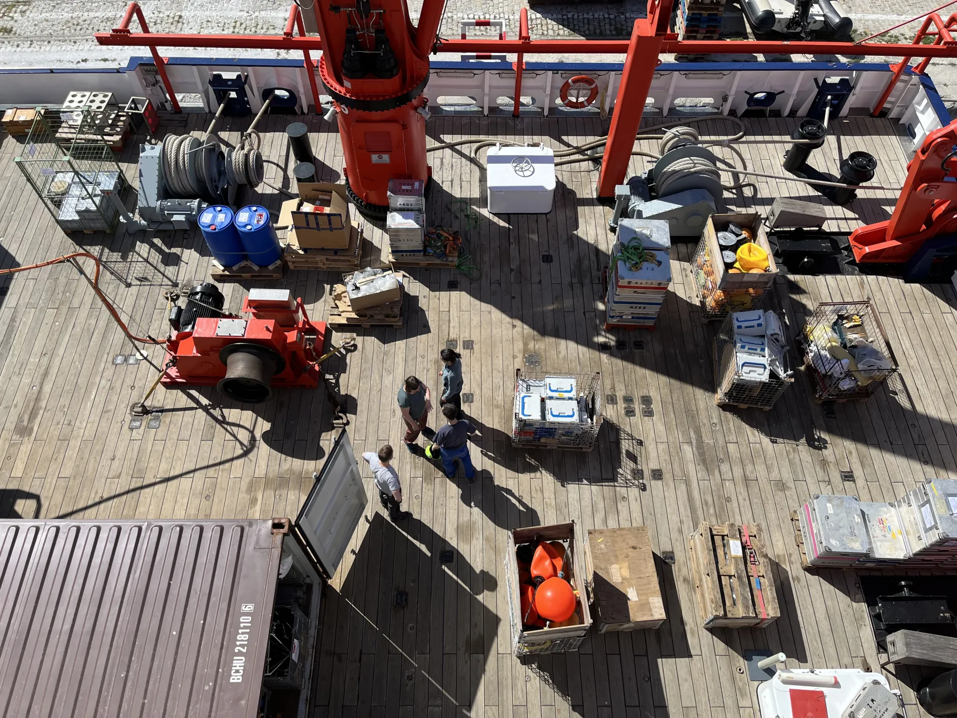
The deck from above. Photos: MARUM – Center for Marine Environmental Sciences, University of Bremen; C. Brendel
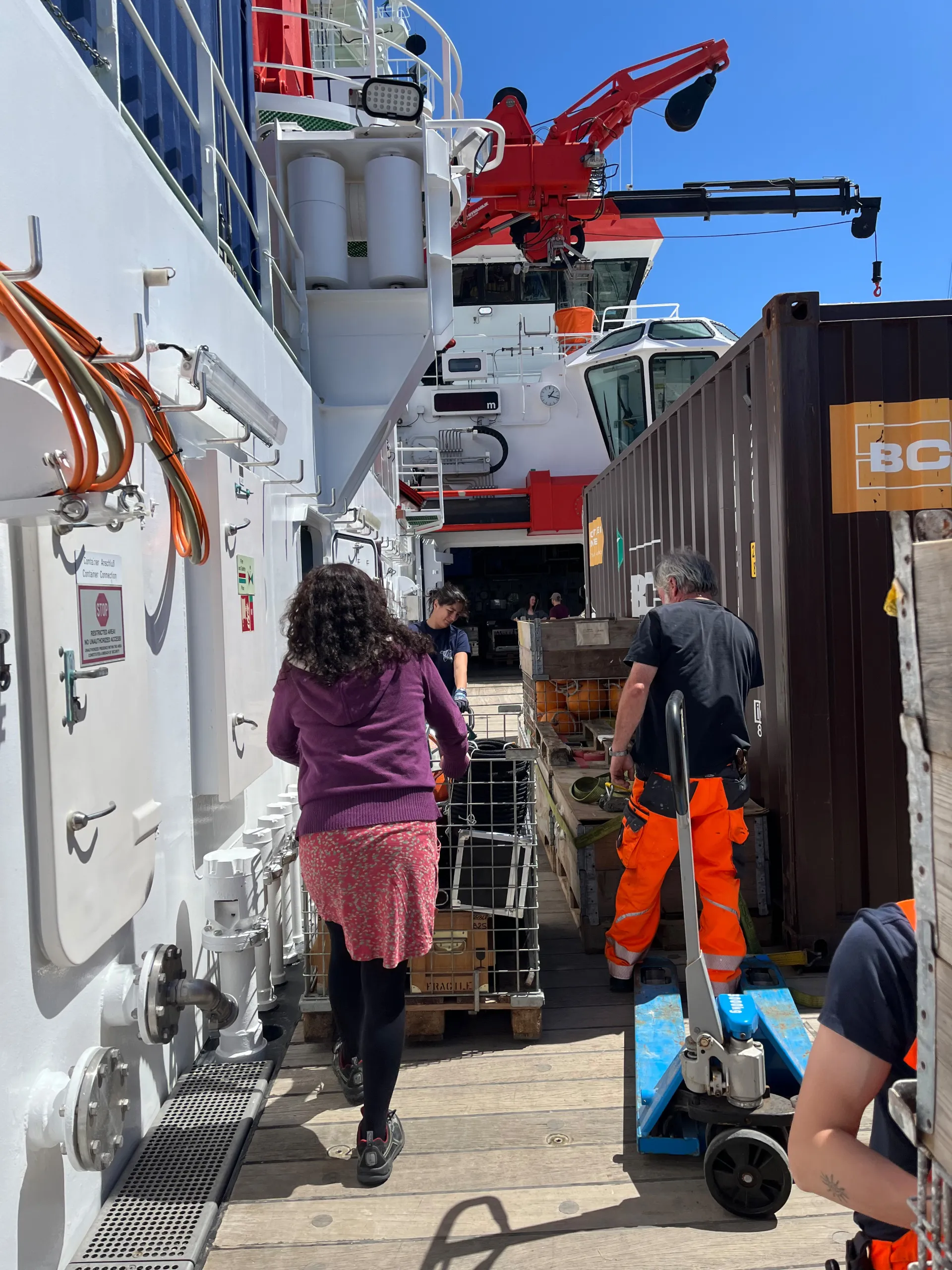
Alice Lefebvre and chief scientist Elda Miramontes García bring the scientific equipment to its proper place.
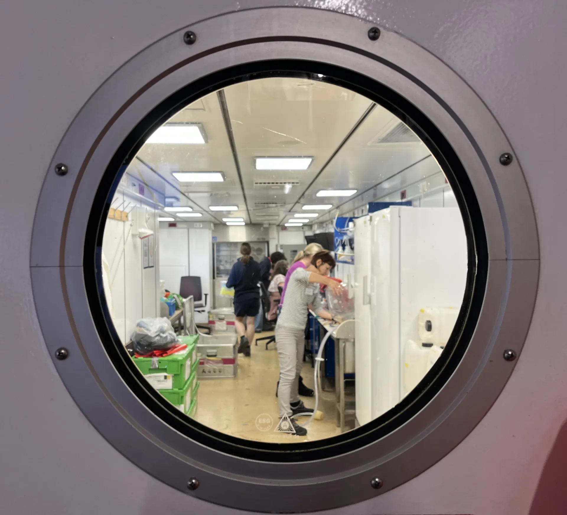
The labs are being set up.
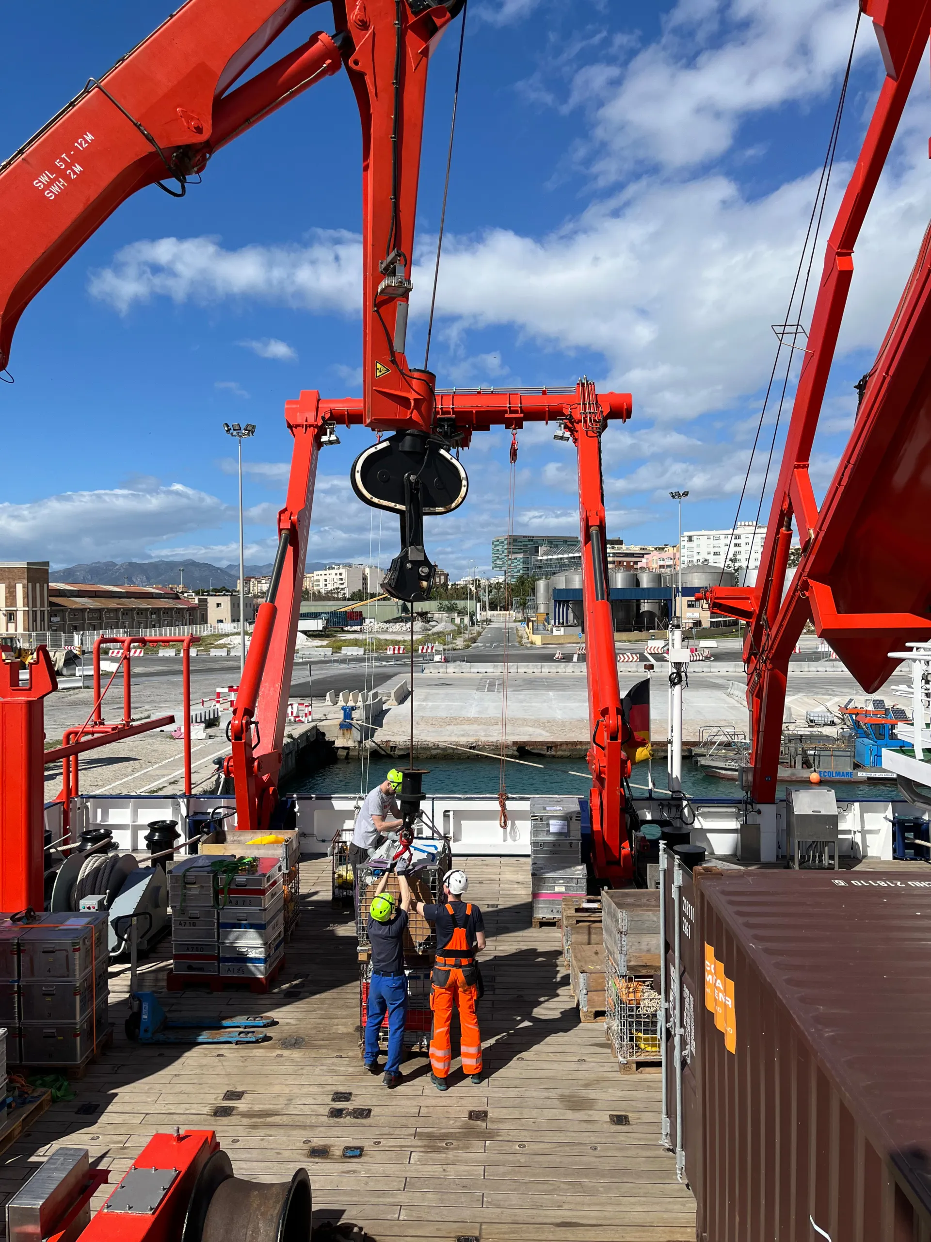
Sometimes it is necessary to use the crane.
April19: Ahoi!
And today we're off – a day earlier than planned. This is because we were asked a favor by the national meteorological service of the United Kingdom (UK Met Office). West of the south coast of Ireland, a buoy which is used to collect weather data has been broken for over six months. The open-source data that the buoy records are relevant for many weather models across Europe – It is time to repair it. We are therefore happy to help solve the problem. It only means a small detour for us. In Málaga, a technician from the UK Met Office has come on board to repair the buoy when we get there. So, we leave Málaga already this evening and set off for Ireland.
April 20: Who is on board?
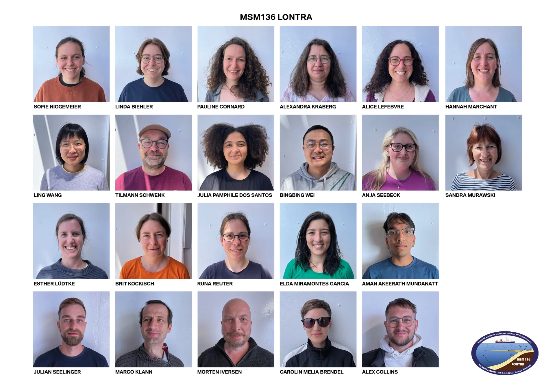
Participants of the research cruise.
In addition to the ship's crew, scientists, technicians and even an artist are on board. The artist is me, Carolin Melia Brendel, who also writes this blog. I may take the opportunity to introduce myself. I'm doing a PhD in artistic research at the University of the Arts in Bremen and the Basel Academy of Art and Design FHNW. For this, I am collaborating with Elda Miramontes García (the cruise chief scientist), Florence Schubotz and Marlis Reich from MARUM.
My PhD is about toxic metabolisms between digital infrastructures and marine ecosystems, from deep-sea mining to e-waste in aquatic systems. Above all, it’s about the question of postdisciplinary forms of knowledge creation to meet the challenges of our time with paradigms distinct from those that brought us here. Find out more at https://carolinmeliabrendel.com/marine-media-metabolisms.
A space was available on the research cruise MSM136 and Elda invited me to participate to get to know the work of MARUM better. I am very grateful for this amazing opportunity and am already very excited!
April 21: On the High Seas
The swell took its toll on us all straight away. Many of us can thank the ship doctor, Frank Heblich, who provided us with medication for seasickness. Luckily, on day three, off the coast of Portugal, the sea becomes calmer. Captain Klaus Bergmann says: ‘There won't be any better conditions than today’. It is the ideal opportunity to continue with the scientific preparations.
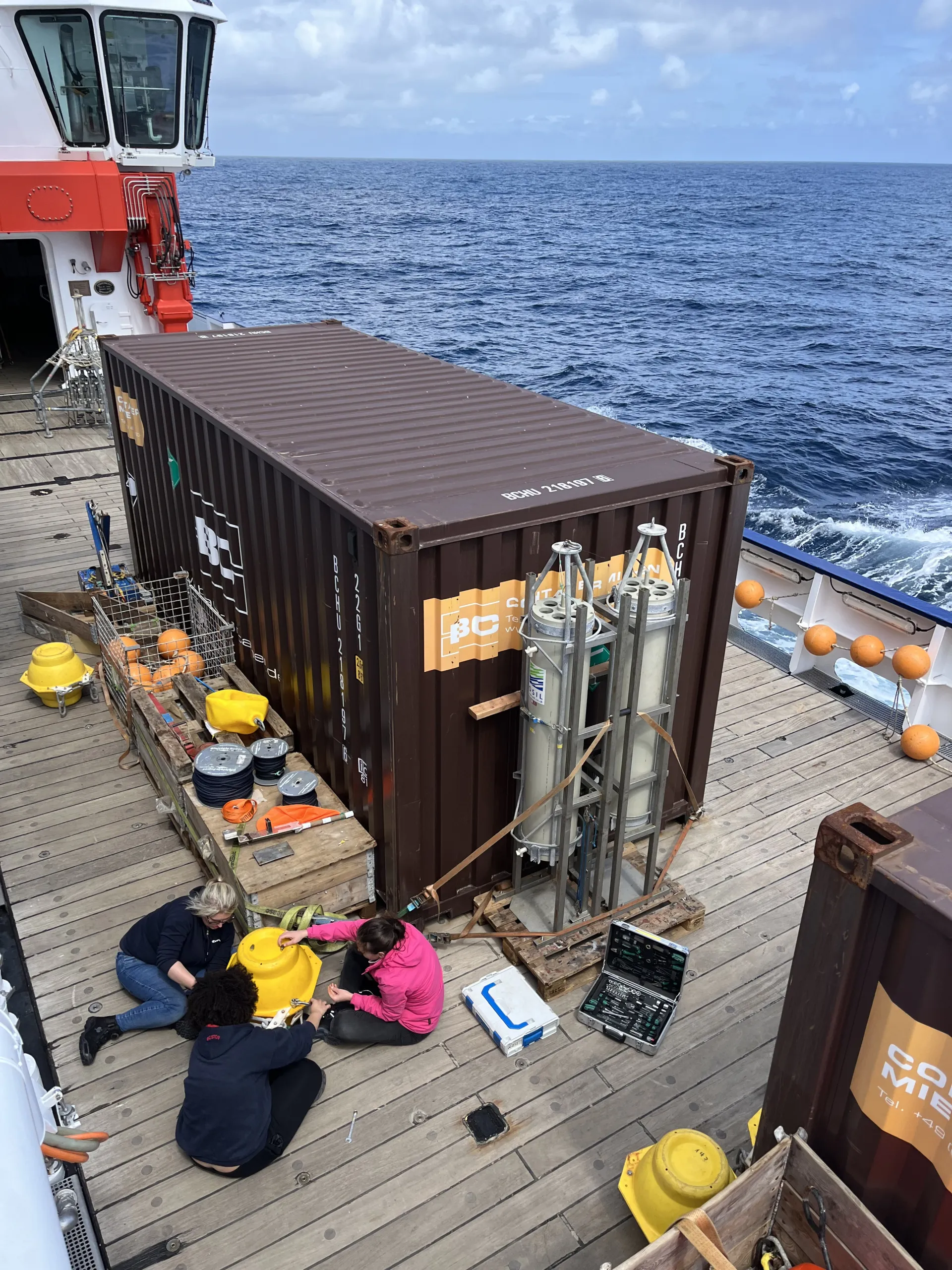
Anja Seebeck, Julia Pamphile Dos Santos and Sofie Niggemeier are preparing for the drifting trap deployment, which will be used to quantify carbon export in the ocean. They checked that all buoys are still intact.
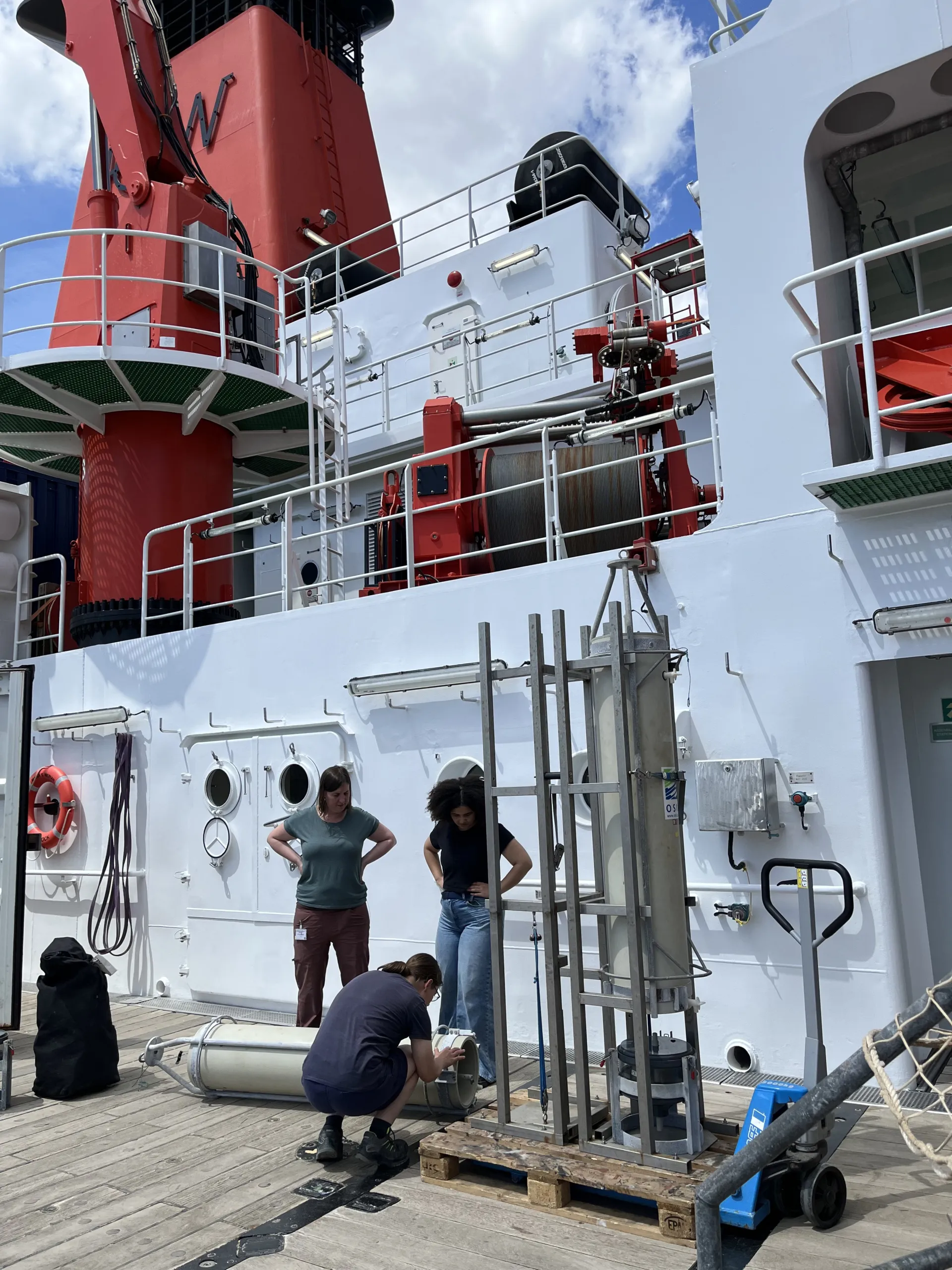
Hannah Marchant, Julia Pamphile Dos Santos and Runa Reuter are preparing the Marine Snow Catcher which will be used to collet intact aggregates. These aggregates can be made of various organic and inorganic particles, also called marine snow, that sink through the water column.
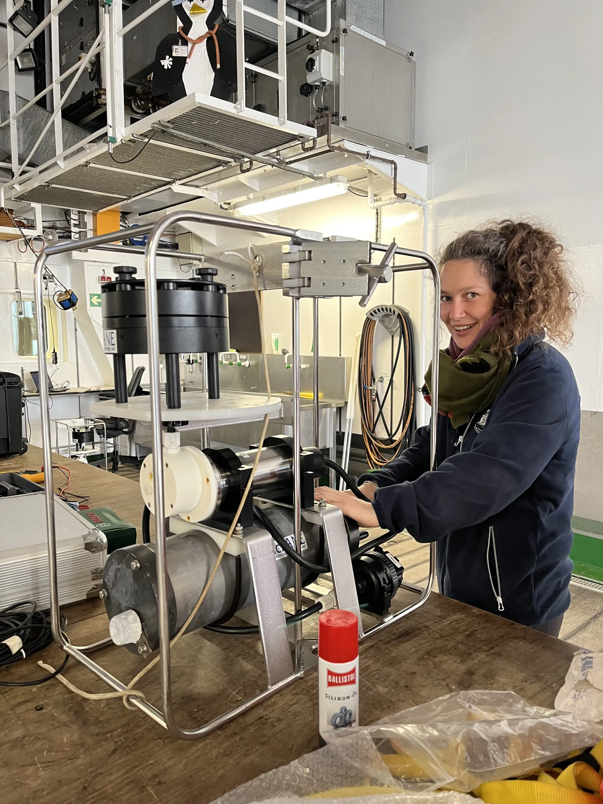
Pauline Cornard is preparing the in-situ pump, which will be used to collect particles in the water.
23. April: Assignment for UK Met office fulfilled
This is the buoy of the UK Met Office, which has been broken for over 6 months. We were lucky, the sea was calm and the weather was good when we arrived, so the crew was able to get this seven-metre-long buoy out of the water. Alex Collins, the Met Office technician, was able to fix it and it's now transmitting the important weather data again.
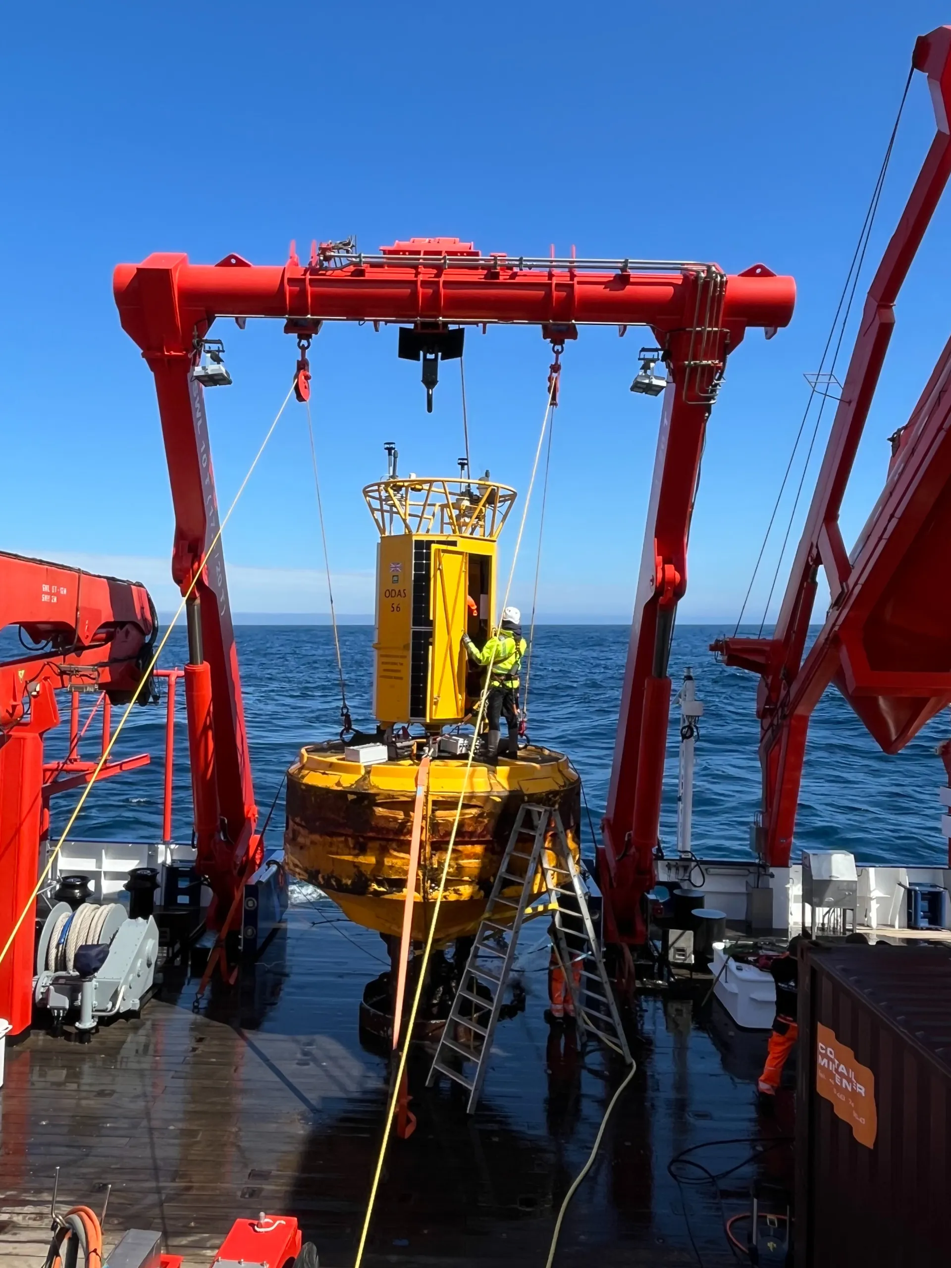
Weather buoy on board of the MARIA S. MERIAN
25. April Finally arrived and off we go with the research
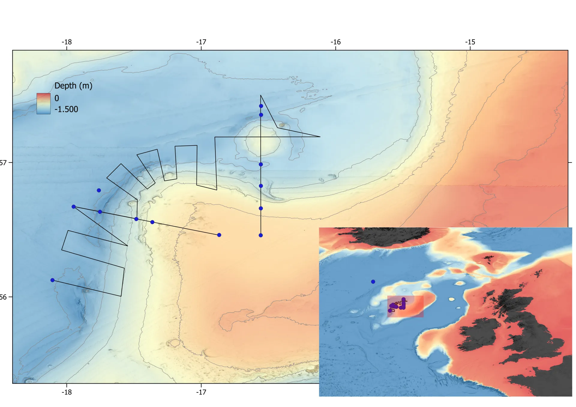
Seafloor map showing the new working area.
Today we have finally arrived in our research area. However, it is now a different one than originally planned on the continental slope and shelf in Irish waters. As we have not received permission from the Irish government to carry out the cruise in Irish waters, we have found a new location in international waters. We have planned two transects with several sampling locations and hydroacoustic survey lines. We started on Friday evening, including taking plankton and water samples from different depths.
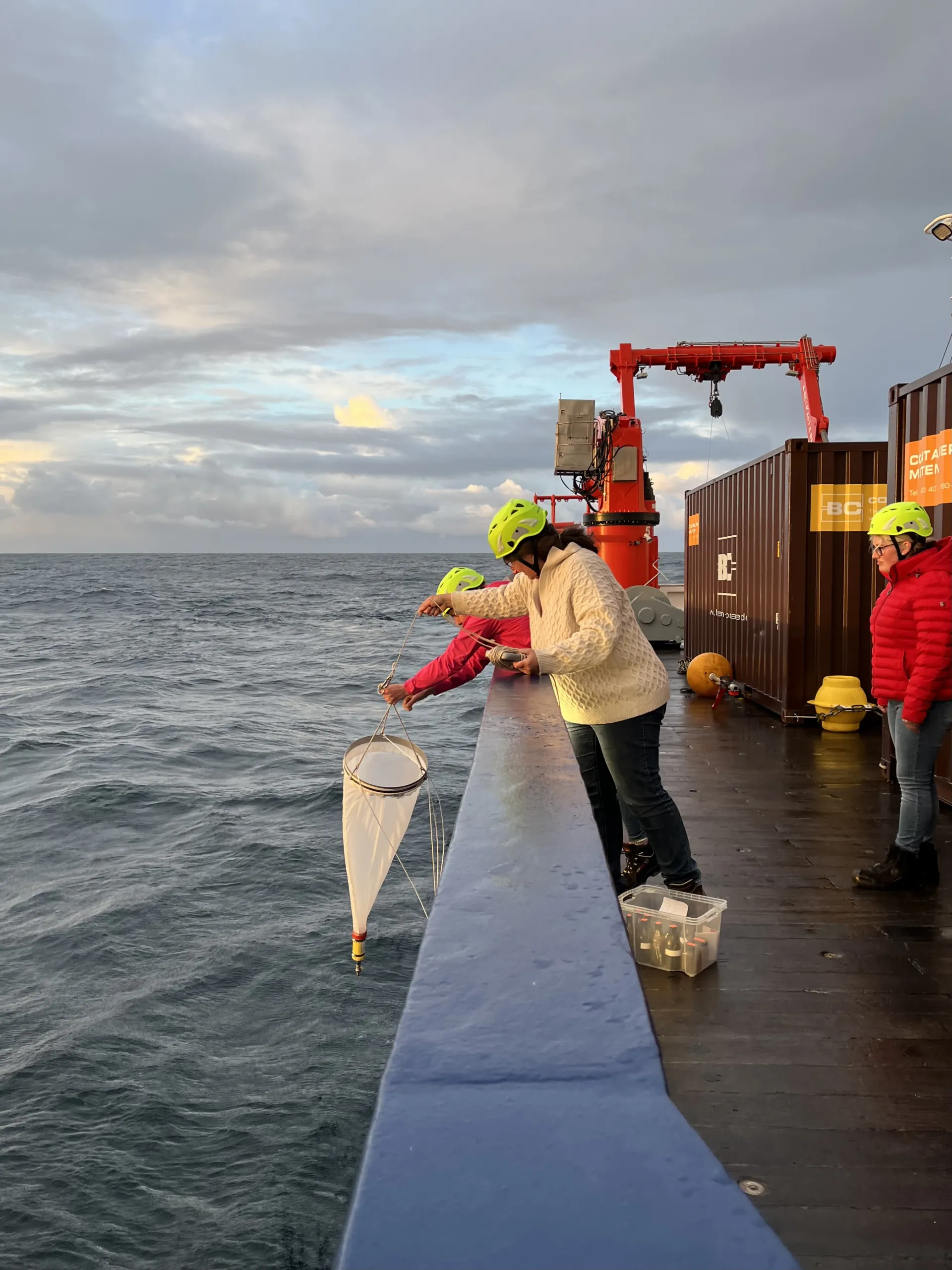
Our plankton expert Alexandra Kraberg throws out the plankton net.
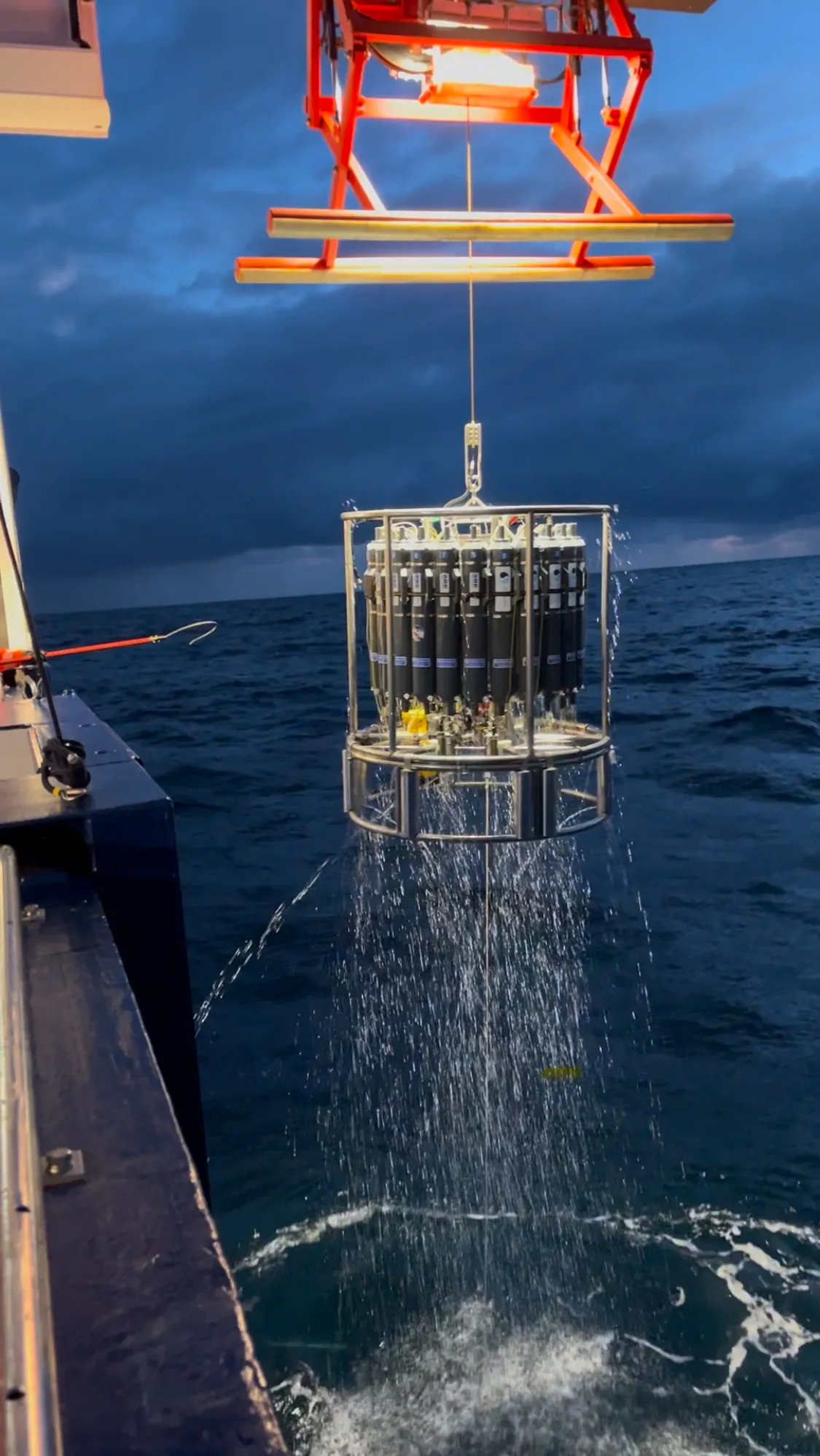
The CTD measures profiles of salinity, temperature, oxygen, turbidity and chlorophyll over the entire water depth, and the Niskin bottles enable us to bring water on board from specific depths.
26. April: Sediment samples and measuring bottom currents
Today we continued taking samples with the different research instruments that are on board to better understand the carbon cycles in the European shelf sea. For example, we descended this instrument to the seafloor to recover sediment samples. It is called a Multi Corer (MUC). The samples it takes allows us to understand what type of sediment is deposited in the seabed and analyze how much carbon is stored in the seafloor in the form of organic matter.
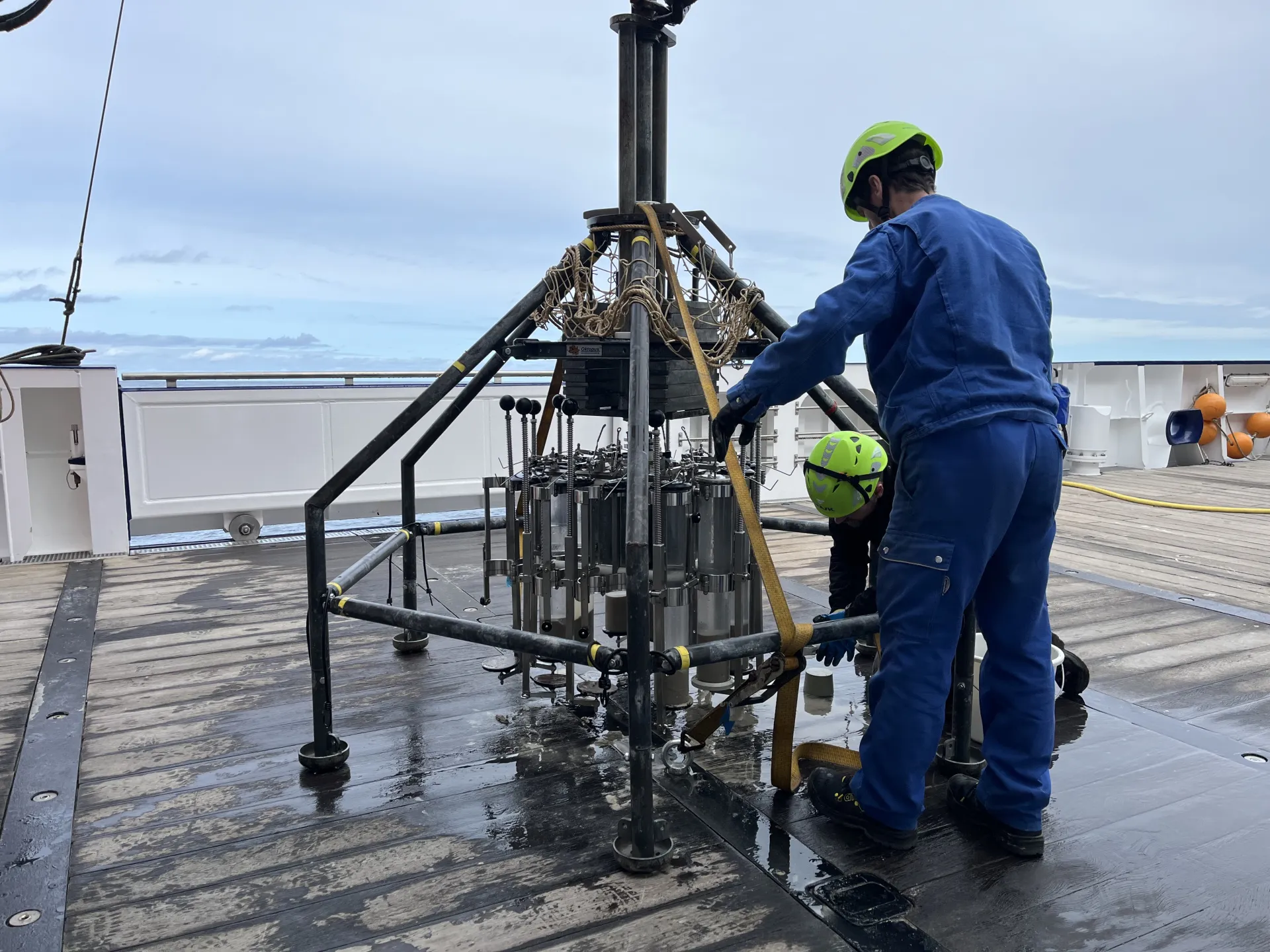
Recovery of the MUC by Julian Seelinger and Marco Klann. In the middle you can see the different sediment cores.
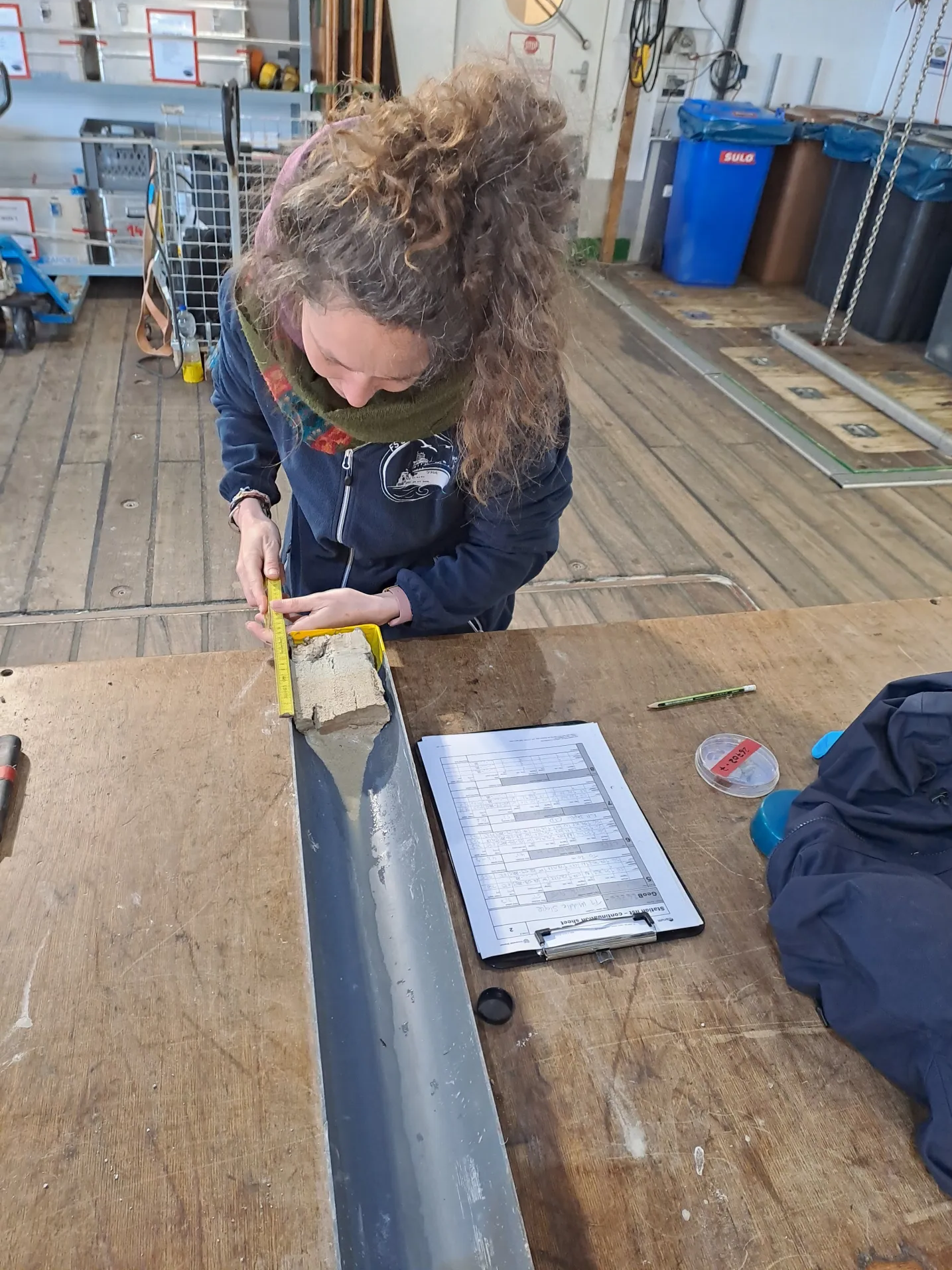
Pauline Cornard subsequently describes the cores. Photo: MARUM, Alice Lefebvre
The so-called mooring is a vertically connected sequence of different instruments. It is fixed to the seabed and collects several types of data, including the velocity of bottom currents. This way the scientists can explore how the carbon cycle, i.e. the processes of storing carbon on the seafloor as organic matter, is influenced by the currents in the sea.
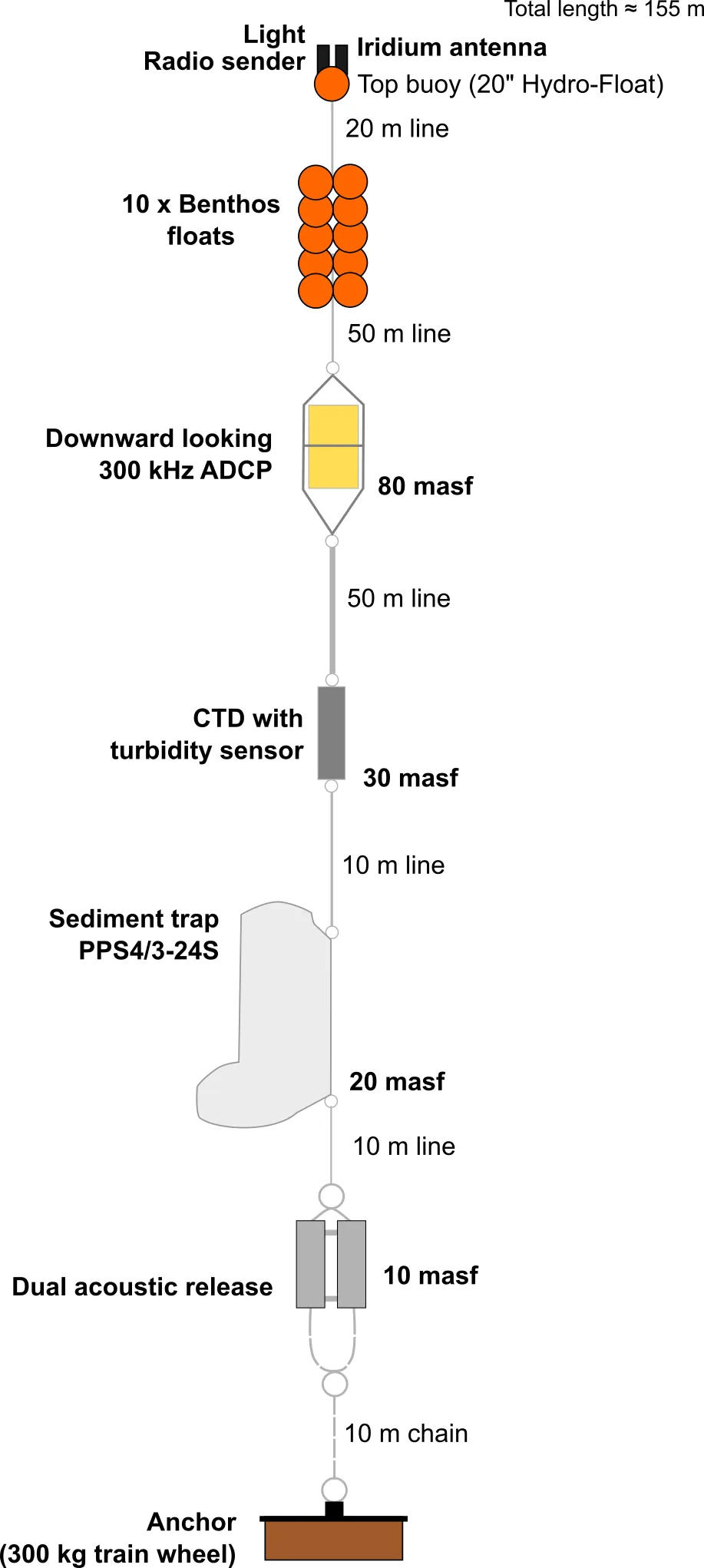
Graphic depiction of the mooring by Elda Miramontes.
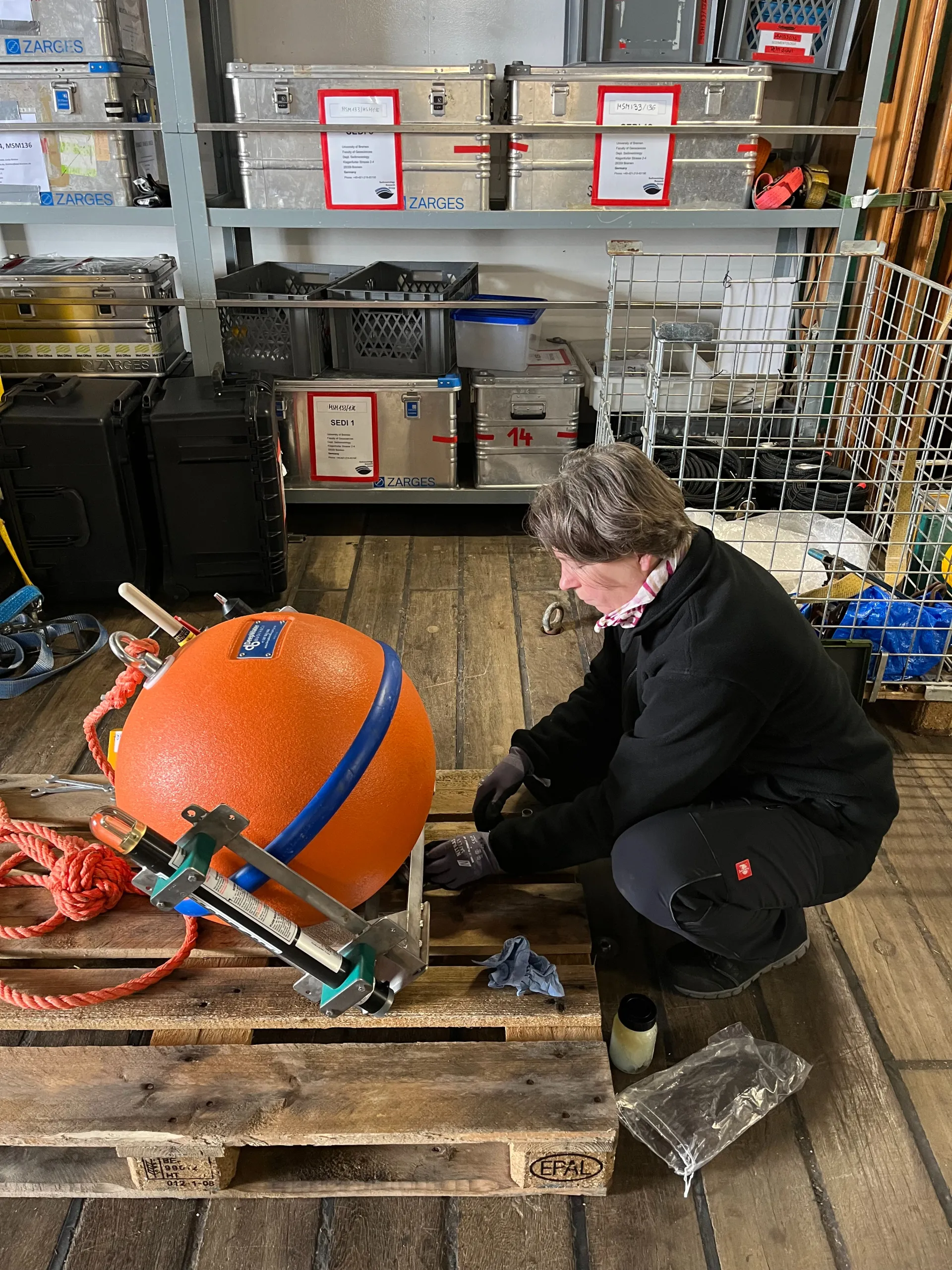
Brit Kockisch preparing the top part of the mooring.
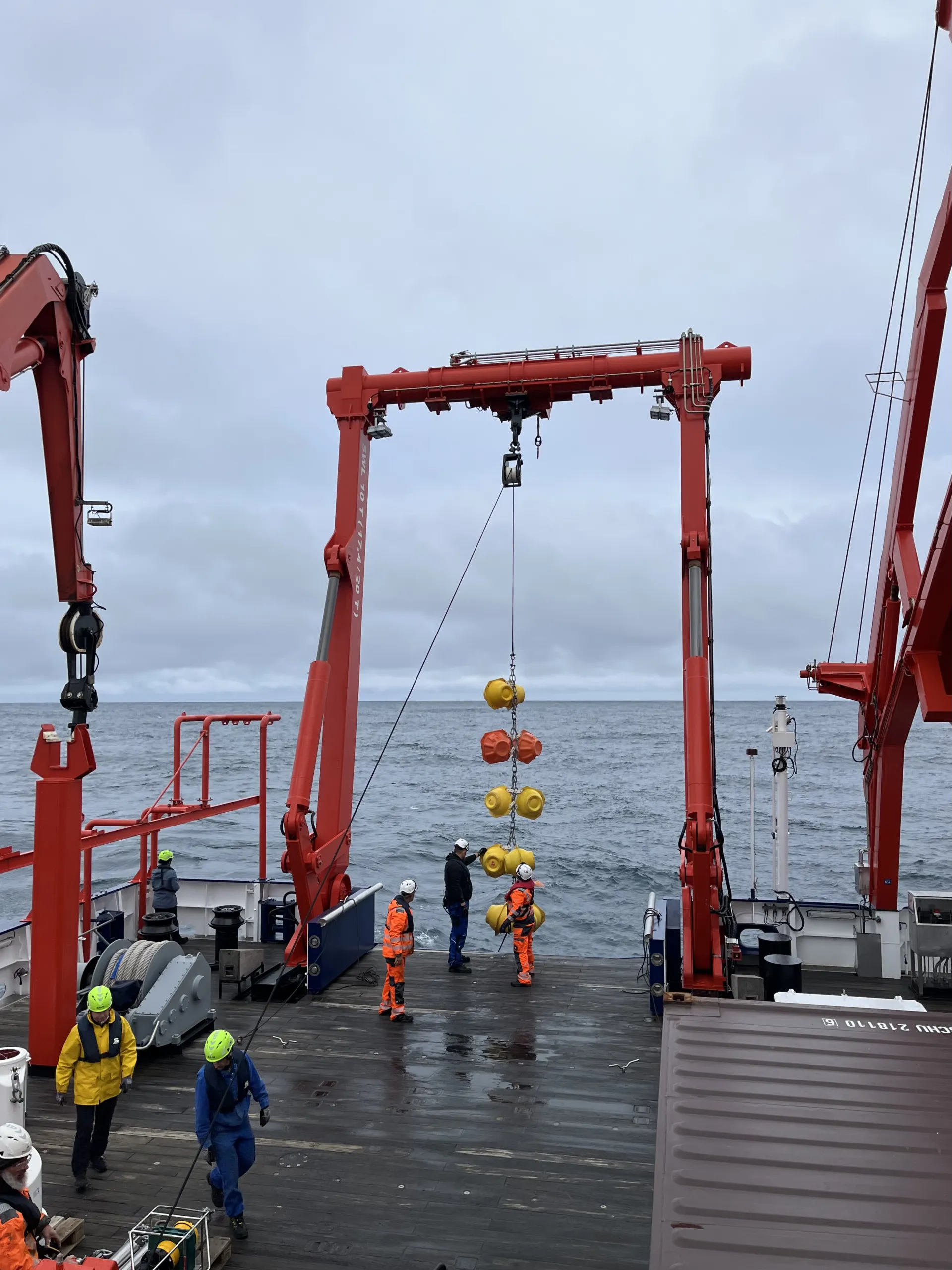
The crew successively puts the mooring into the sea.
27. April: Marine snow & pilot whales
After the second night shift, everyone is quite tired but also happy about all the collected samples. Today I want to present one of the research instruments that is used to analyze the processes of the carbon cycle in the water column.
The so-called drifting trap is a free-floating assemblage of different tools, which is situated at the surface and goes down to around 400 m. It includes sediment traps that collect sinking particles which transport organic carbon from the surface to the deep ocean. In order to directly measure the sinking velocities of the particles, a camera takes a photo of them every four seconds.
These particles are mainly the excrements from the tiny animals (zooplankton) eating the tiny plants (phytoplankton) at the sunlight top part of the sea. Another important particle type is formed from phytoplankton that stick together. These reflect light very well and look like snowflakes and are thus called marine snow.
To collect intact marine snow, we are deploying a Marine Snow Catcher (cf. post 4) which helps us to identify which types of particle binds the organic material and how much of that carbon is sinking through the water column down to the seafloor. The most important questions are: how much of it is there and how fast does it sink?
The samples taken during this research cruise add to a large dataset collected over the past 20 years at locations throughout the entire Atlantic Ocean. These measurements are very important since they directly feed into the global climate models and help us to make more accurate predictions of how much carbon dioxide the ocean can take up.
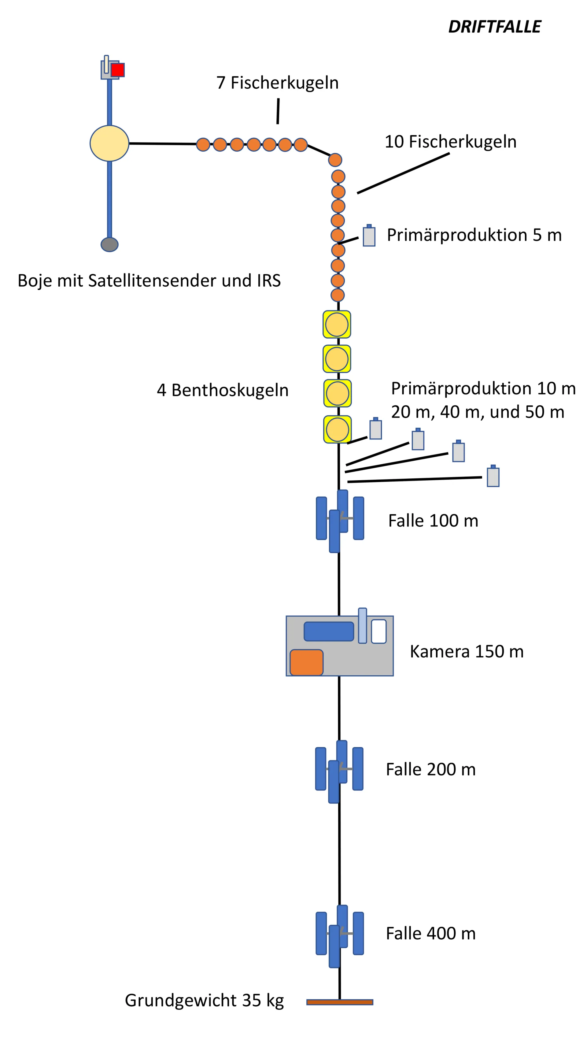
Graphic representation of the drifting trap by Morten Iversen.
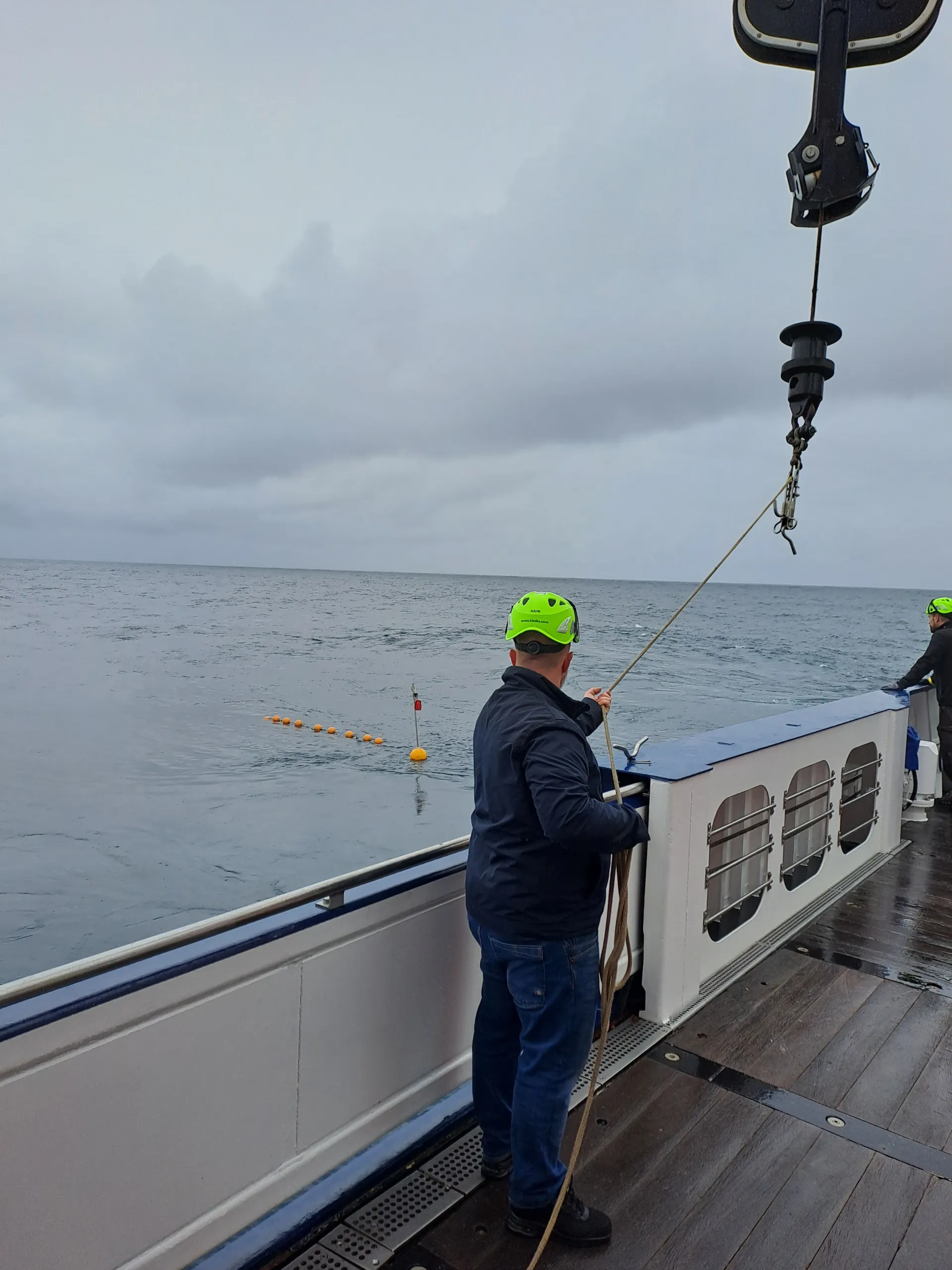
The drifting trap in the water.
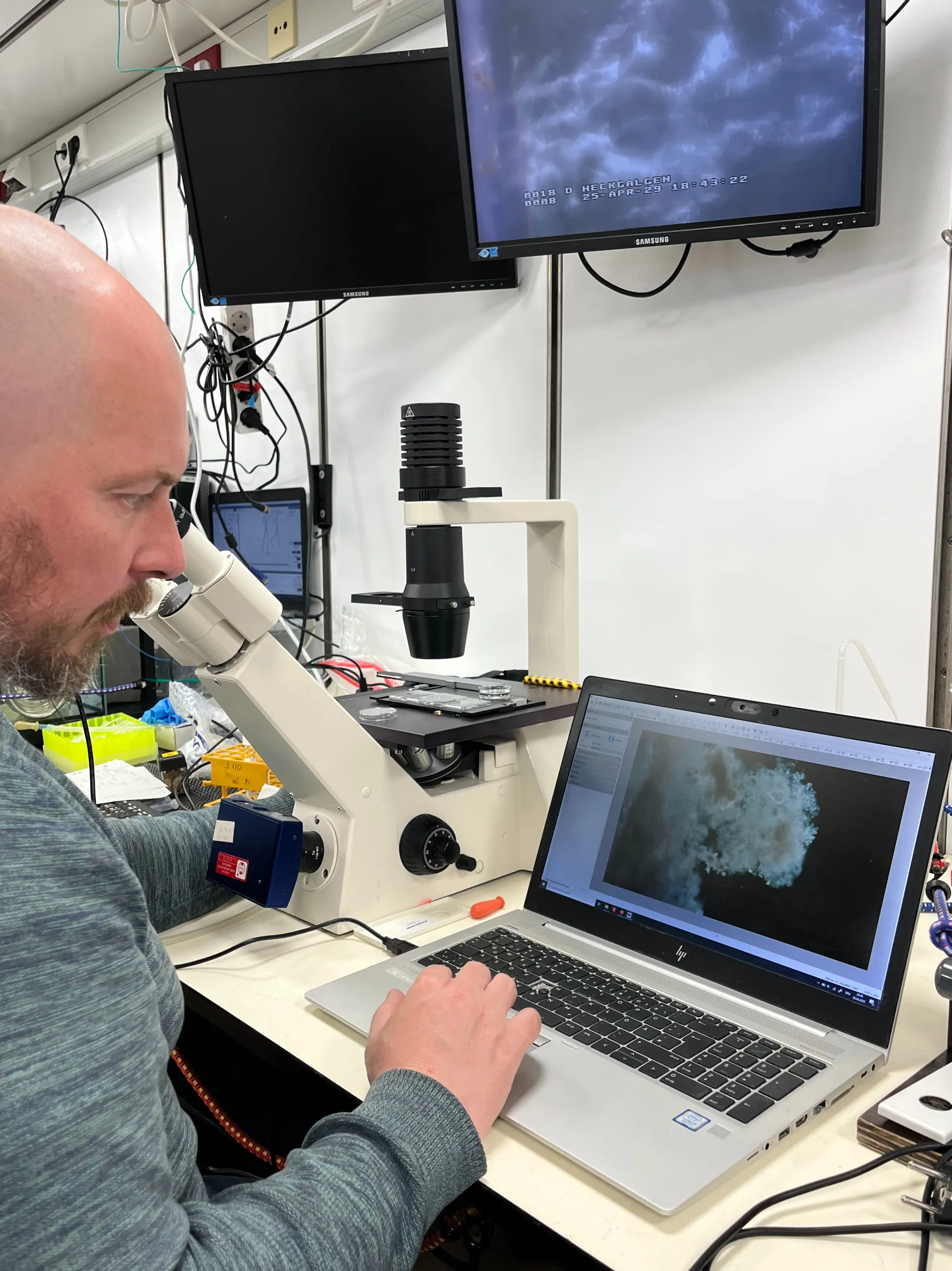
Morten Iversen analyses the composition of marine snow under the microscope.
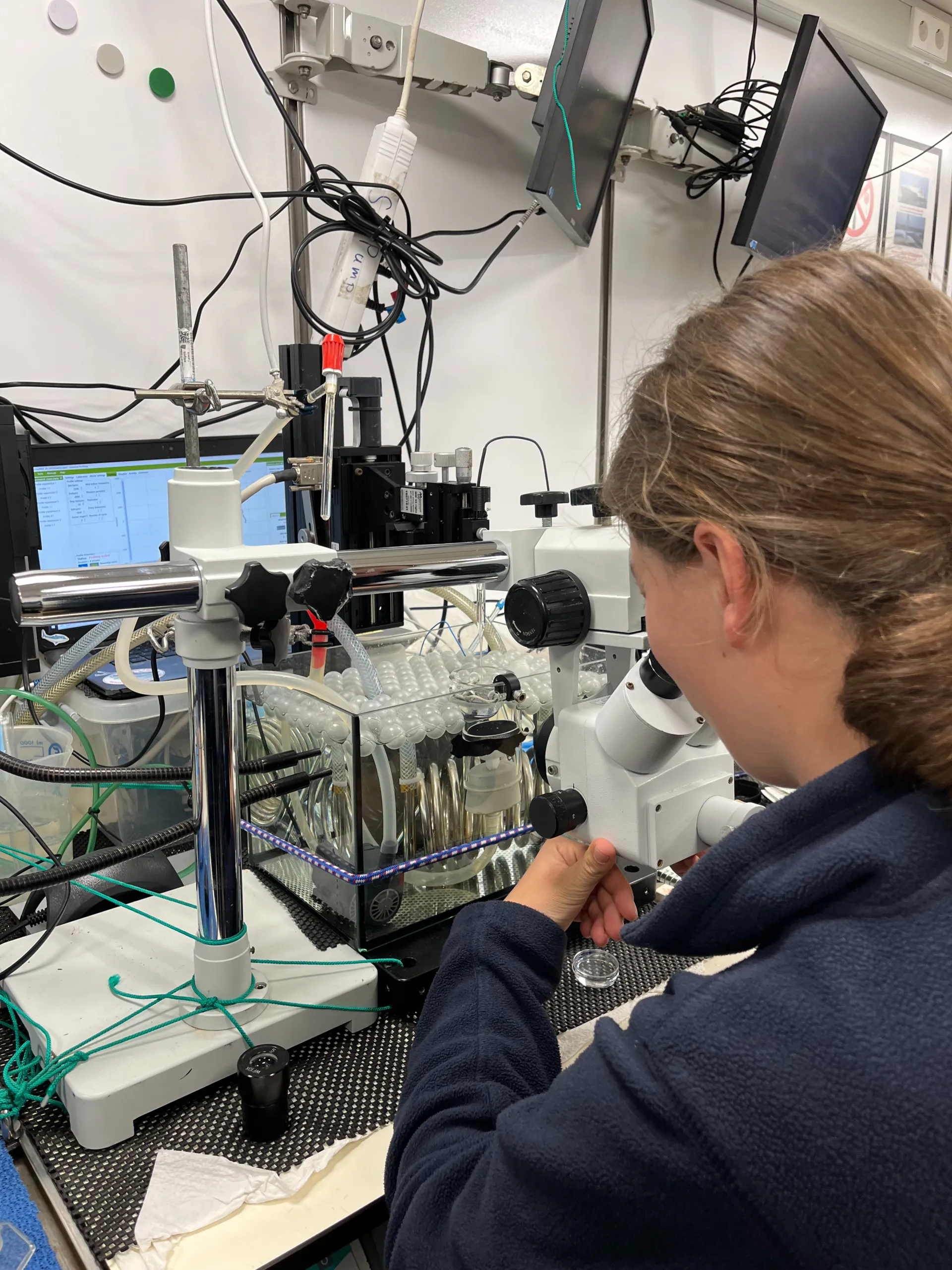
Runa Reuter is measuring individual marine snow aggregates with the Flow Chamber to determine their sizes, settling velocity and microbial respiration.
This evening, we had some visitors! Around twenty to thirty pilot whales came by and had their dinner close to our ship. Most of them were busy eating but some looked at us curiously and said hi. There was also a very small whale swimming between two large ones and one playing on its back and slapping its fins.
Video by Alice Lefebvre.
28. April: What we can know from filtering water
Today, I would like to show you the water filtration tools and talk about their purpose. A possibility is to filter the water collected by the Niskin bottles on the CTD. Each bottle can collect 10 liters at a specific depth. The water is then processed in the filtration station through different types of filters to do a biogeochemical analysis. This is relevant for the research that I presented to you in the last post.
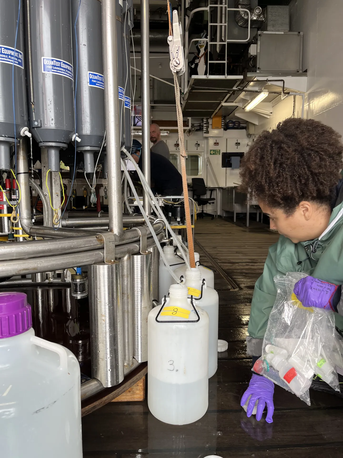
Julia Pamphile Dos Santos collects a water sample from the CTD into the vessel for transportation.
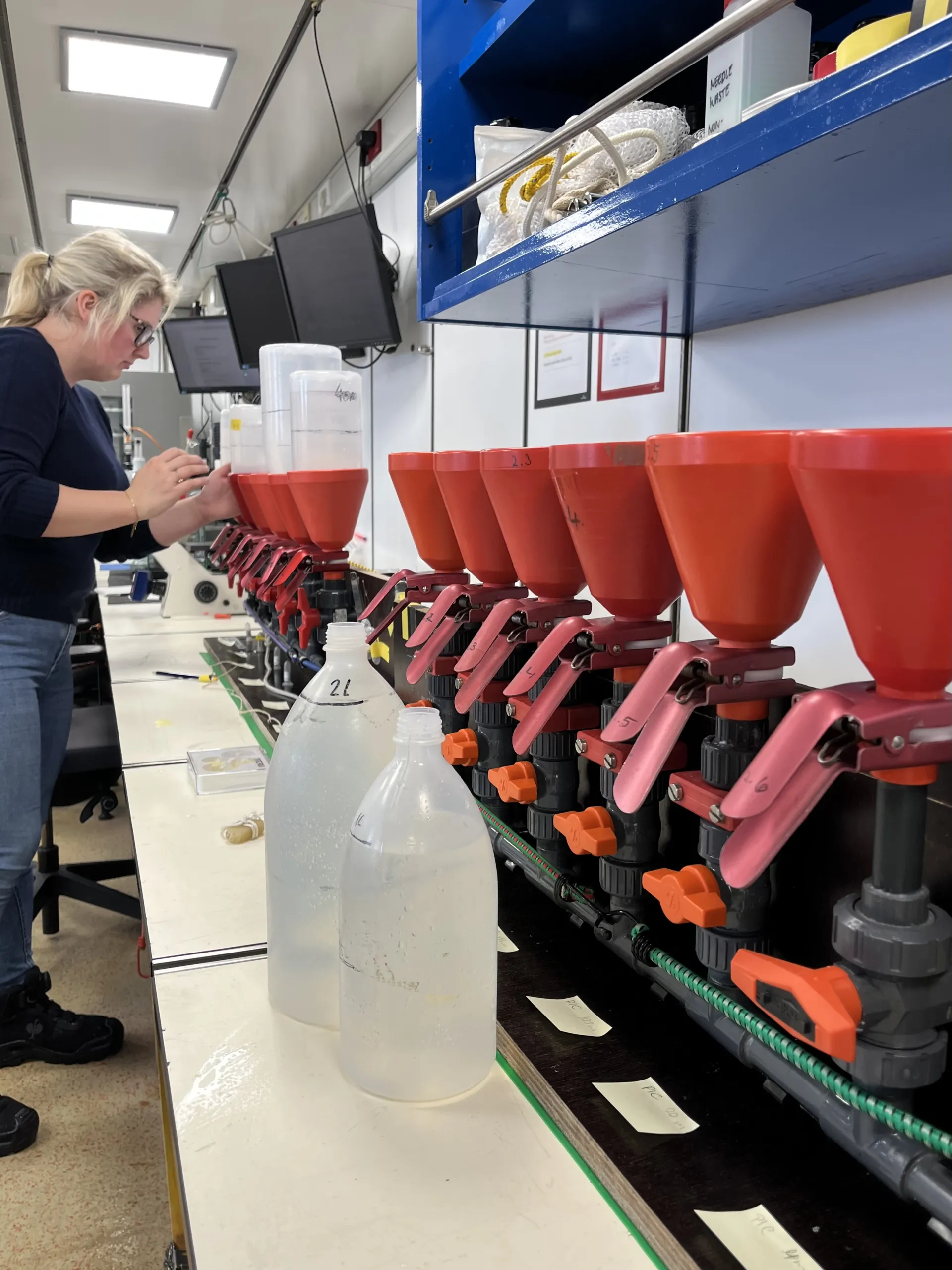
Anja Seebeck filters the water from the CDT in the filtration station.
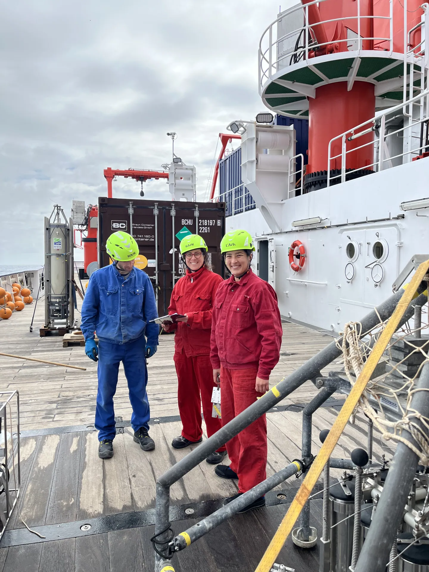
Marco Klann, Alice Lefebvre and Elda Miramontes García are preparing to let the in-situ-pump into the sea.
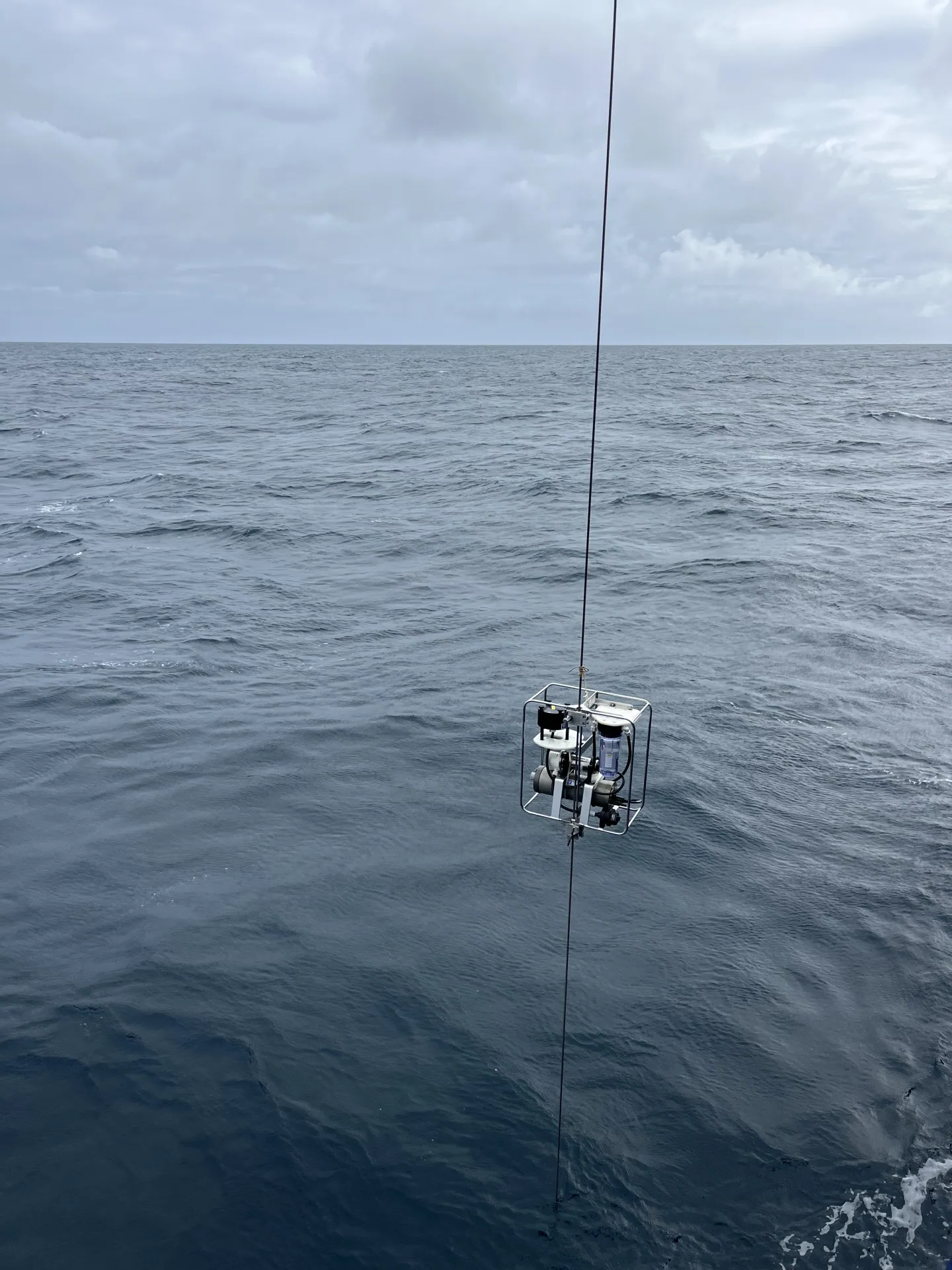
The in-situ-pump is descended into the water.
Another very useful instrument to collect particles from the water is the in-situ-pump. This pump can filter the water directly and automatically while placed at a specific location of interest in the sea. The particles present in the water are then brought to the surface directly on the filter. So, only the results of this filtration are recovered, not the water. It is a very efficient method and a lot less work compared to collecting water samples and filtering them on board. It is especially used for samples where a lot of water has to be filtered in order to get an interesting result. When the pump is 90 minutes in the water, it can filter between 200 and 700 liters of water.
We have two different research teams that make use of the in-situ pump (we have four onboard with us). Elda Miramontes García and her colleagues will analyse the filters to look for tiny plastic particles, find out how many there are and which types are concentrated where in the water column. The aim is to understand how the plastic fragments are transported through the seas, where they are primarily concentrated and thus affect the marine ecosystems most.
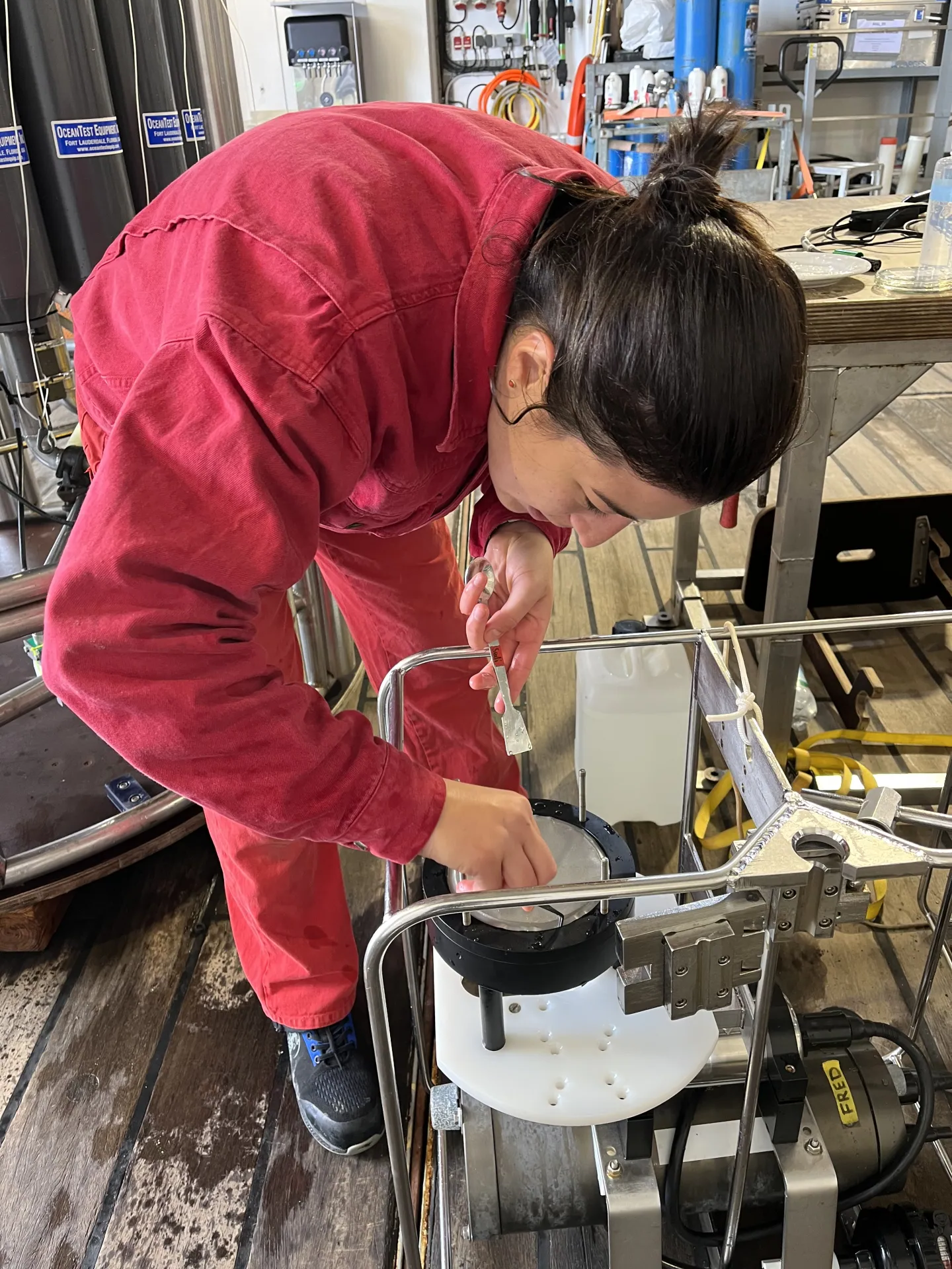
Elda Miramontes García secures the filter from the in-situ-pump.

Bingbing Wei looking at his filter from the in-situ-pump with a lot of phytoplankton. Photo: Alice Lefebvre.
Bingbing Wei and his team investigate the particulate organic carbon composition in the water column to understand and evaluate the carbon export to the deep ocean. With the in-situ pumps, they have filtered water at the top, in the middle and at the bottom of the water column. At each depth, around 250 l of water were filtered. The collected particles will allow them to calculate the age of the carbon as well as its reactivity and subsequently to assess their role in the global carbon cycle. In this sample from the surface water, the yellow color shows that the filter is full of the organic carbon phytoplankton like algae typically found at the water surface, which is presumably young and reactive.
Later that day, the pilot whales came again near our ship. Apparently, they like to hang out with us in the evenings.
29. April: And what about the sugar?
Another research team on board contributes to the carbon cycle analysis with a specific investigation of the role of sugars. Aman Akeerath Mundanatt, Sofie Niggemeier and Linda Biehler investigate the role of sugars, during the transport of carbon dioxide from the atmosphere to the ocean floor. The primary focus is on negatively charged and complex sugars produced during photosynthesis by microscopic algae like diatoms or macroscopic brown algae.
The scientists are specifically interested in the sugars that are hard to degrade and negatively charged as they bring most of the carbon to the ocean floor. For their research, they analyze sugars in particles and in dissolved forms throughout the water column, from top to bottom, using the water collected by the CTD. They also collect sediment samples to investigate if the sugars transport carbon to the seabed.
The water is filtered onto glass fiber filters to collect particles, which are analyzed for their sugar composition. The water is then pumped through the anionic exchange columns, which capture all the negatively charged sugars for further analysis. Through this research, they can estimate how much carbon is stored by the respective sugars in the global carbon cycle.
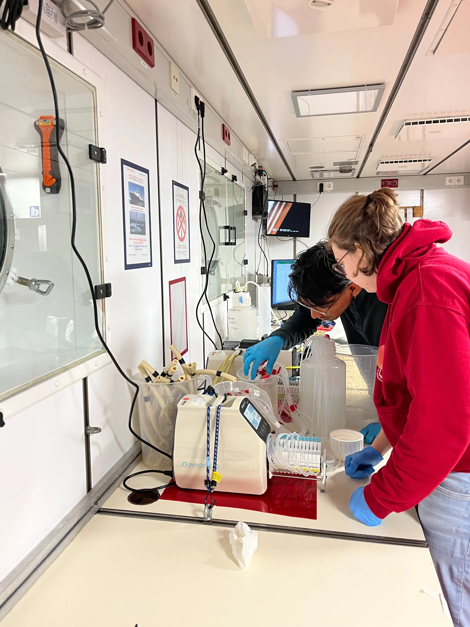
Linda Biehler and Aman Akeerath Mundanatt at their work station. In front you can see the peristaltic pump.
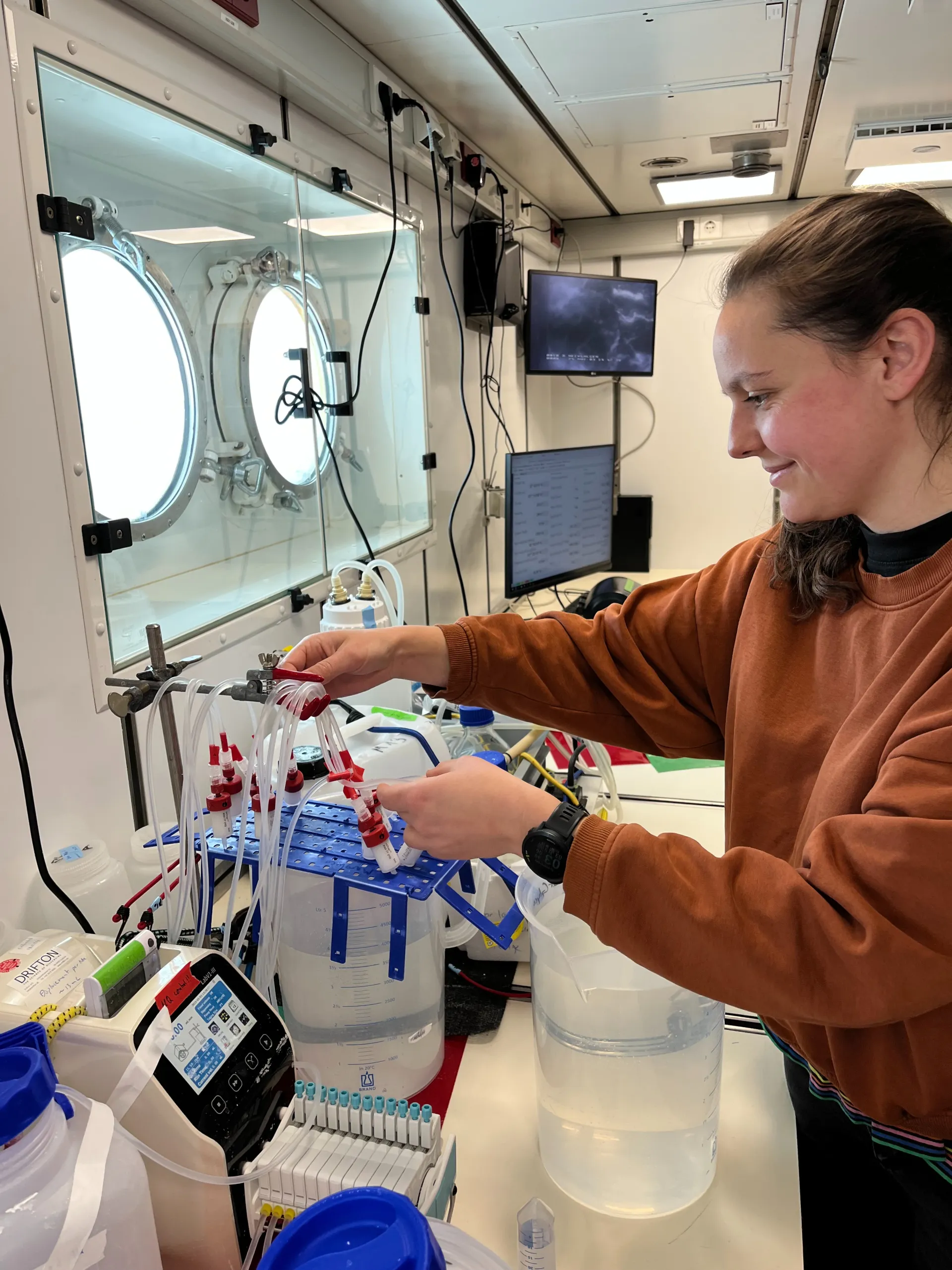
Sofie Niggemeier preparing the anionic exchange columns.
30. April: Snowflakes
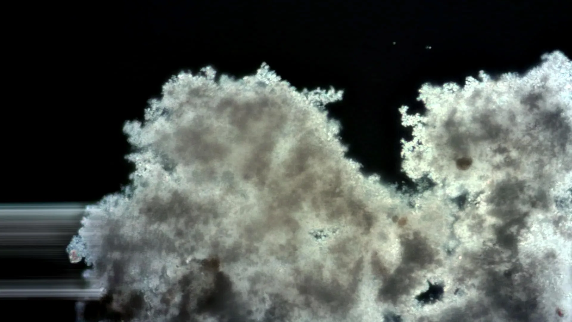
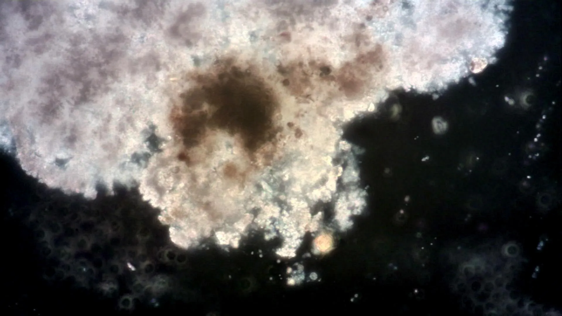
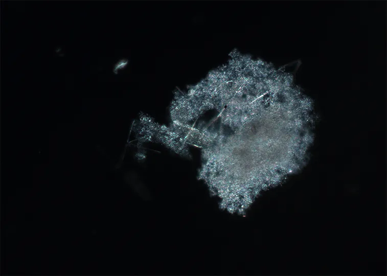
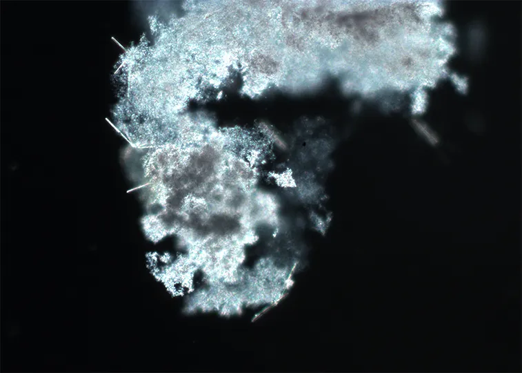
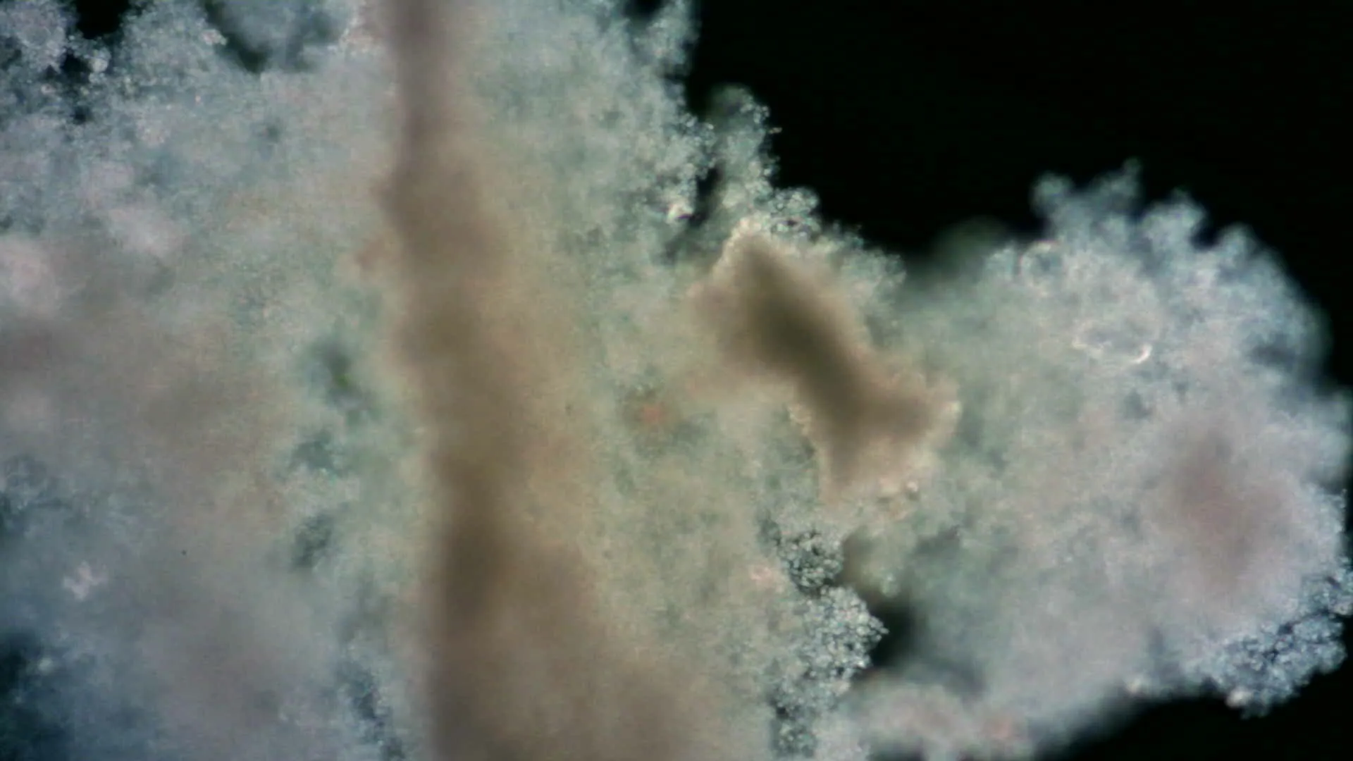
We completed all the research stations from the first working area, also called transect, just in time during the good weather conditions. A storm was predicted and therefore we had to change plans and postpone the start of the second transect. Meanwhile the research in the labs had continued. Here are some beautiful pictures of marine snow under the microscope made by Morten Iversen (cf. for the research post 8).
1. Mai: Stormy sea
Last night the storm arrived and it got quite shaky on the research vessel. The waves were up to 5 meters high. During the day, the doors were closed by the captain so that we couldn’t go outside on deck for safety reasons.
2. May: Mapping the seabed
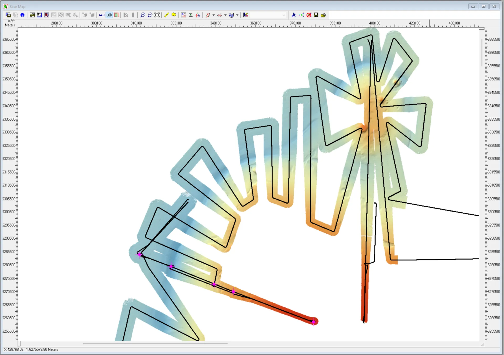
Mapping the seabed along the research route.
Part of the research on board which I haven’t talked about so far concerns the mapping of the ocean floor. Tilmann Schwenk and colleagues switched the measuring instruments on when we arrived in international waters and they are now running all the time.
Various echosounders are used to map the topography of the seabed along the ship route. It corresponds to the colorful section of this picture.
There are essentially two main devices for producing these images. They both work with sound. Let's start with the multibeam echosounder. It is attached to the bottom of the ship and uses acoustic signals to scan the seabed beneath the ship in a wide strip. This device does not create the image using a camera, but by means of sound. The bottom is measured by emitting sound waves and recording their acoustic backscatter. The travel time and strength of the sound waves to the seabed and back contains information about the topography of the seabed. The seabed is visible as far as the sound reaches. In this picture you can see the blue fan plummet and the propagation of its acoustic signals.
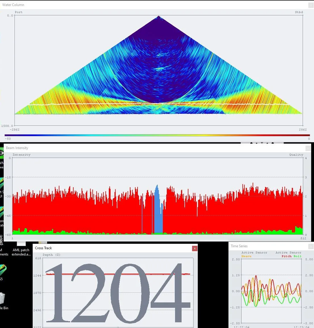
Fan plummet of the multibeam echosounder. The number indicates the bottom depth.
The second instrument is the sediment echosounder, also known as a parasounder. This is a vertical, narrow sonar beam - you can imagine it like a straw that goes from the ship to the seabed and a little into it. The sound from this device also penetrates the seabed and is reflected by various layers in the sediments, so that the sediment structure can be visualized up to almost 70 m below the seabed. This technique produces cross-sectional images of the seabed, as you can see here.
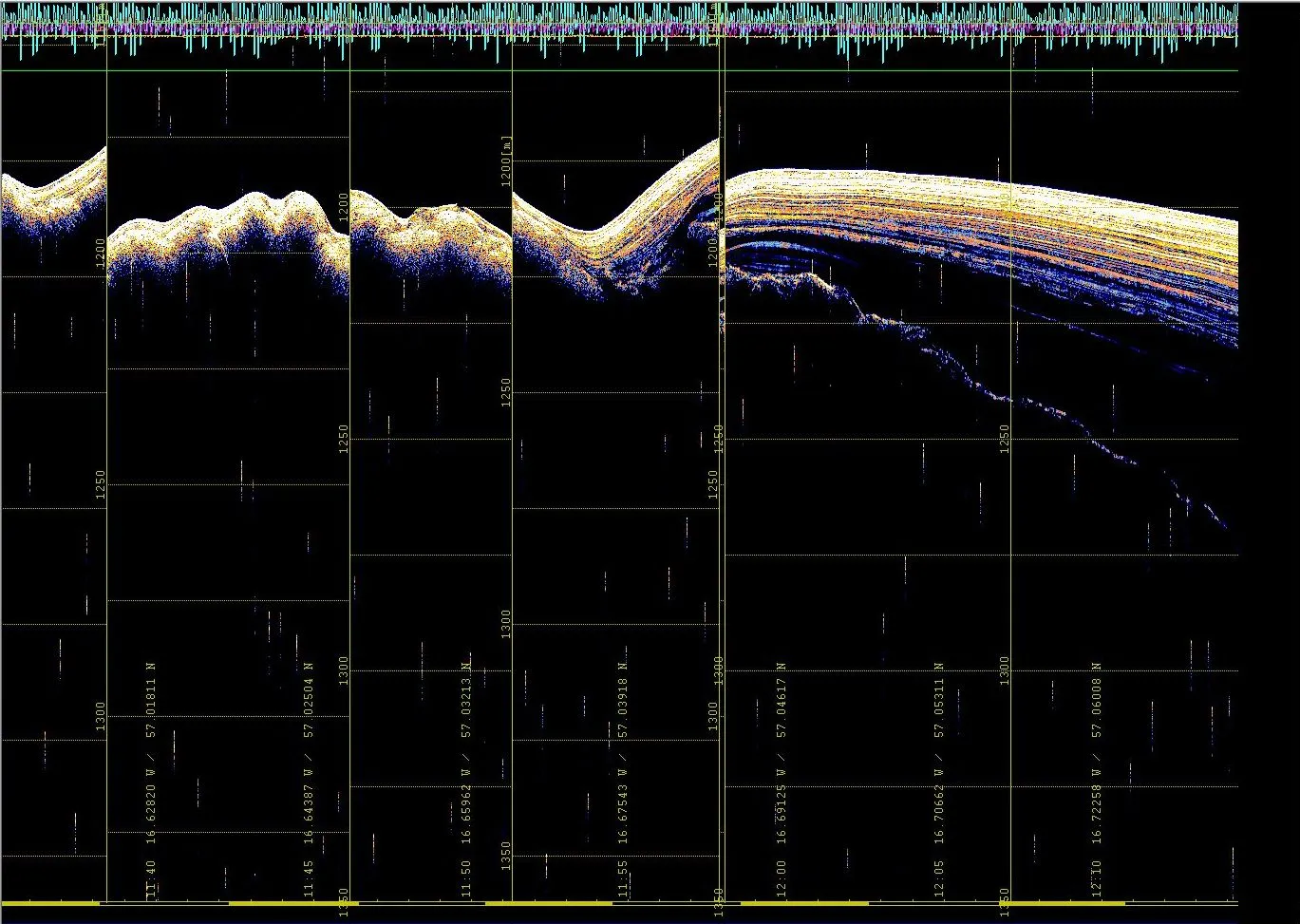
The cross-section of the seabed created with the sediment echo sounder.
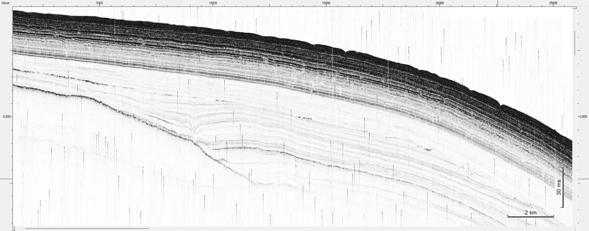
Close-up of the sediment layers.
With the help of these images, the scientists can understand the processes of how the sediment was deposited there. The different colors provide information about the type of sediment at the respective location. As the directional sound of this echosounder travels through the entire water column before hitting the bottom, some of what’s happening in the water column can also be visualized. In particular, the distribution of the smallest particles in it, such as plankton or sediment in suspension, becomes very clearly visible.
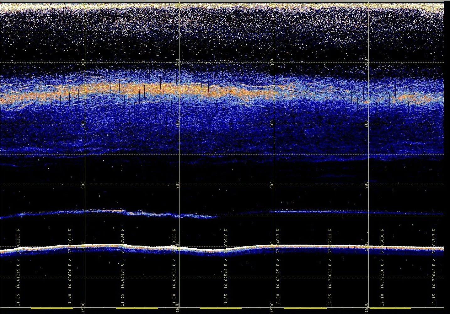
Cross-section of the water column. The lighter part is the plankton.
As you can see, these images also relate to topics from other research groups and thus provide important insights when the different types of measurements are combined. For example, the information from the sediment samples taken with the MUC can be extended spatially in combination with the maps created from hydroacoustic measurements. This allows, for example, the distribution of sediment types on the sea floor to be determined in more detail. The information of the echo sounders is also used to refine the general seabed map and is therefore made publicly available.
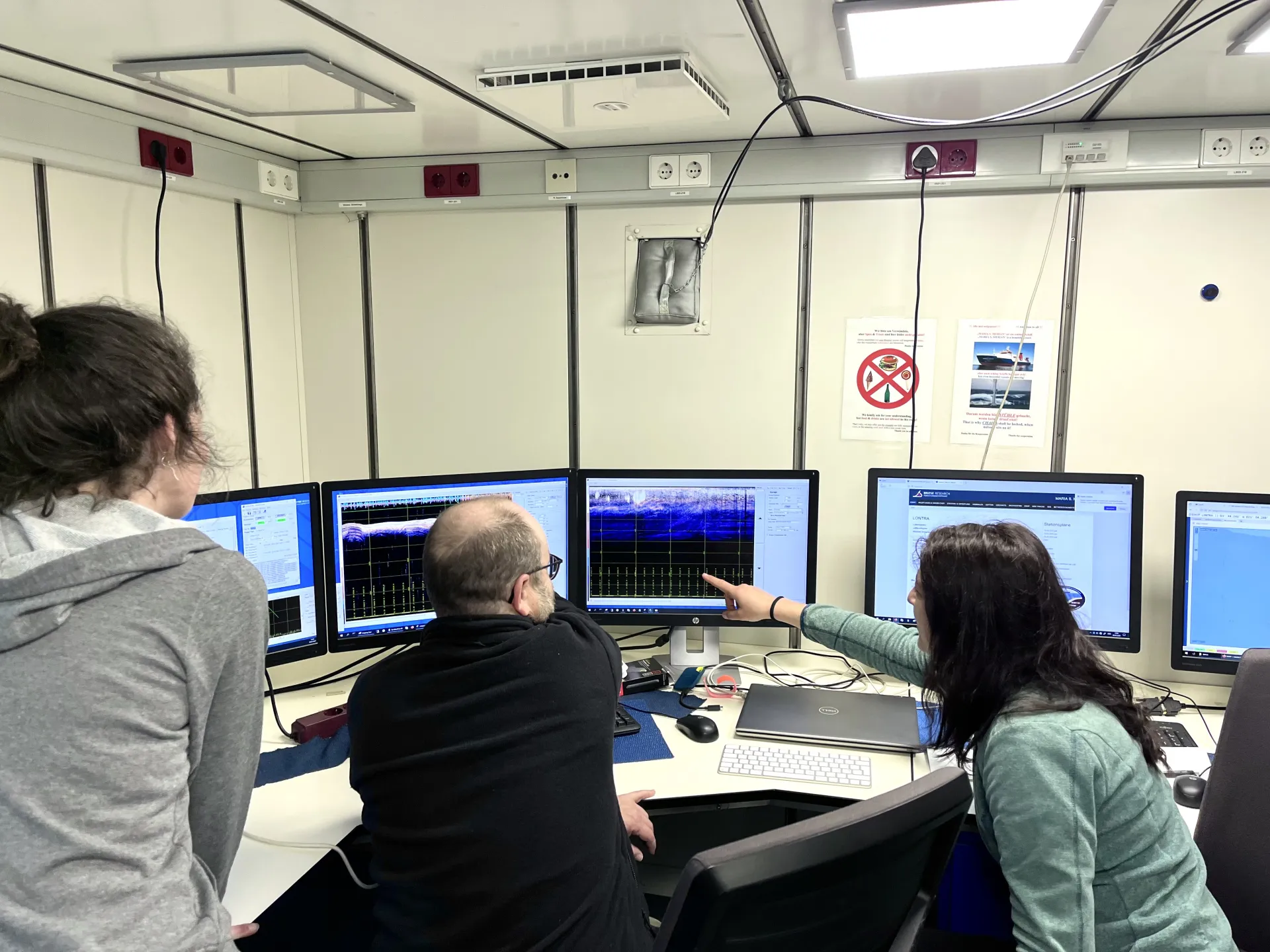
Pauline Cornard, Tilmann Schwenk and Elda Miramontes García discuss the recordings from the echo sounders.
4. May: Water currents
Today we recovered the mooring (cf. post from the 26th of April) and the lander from the seafloor, where they have been collecting data for a week. Both tools are equipped with acoustic current Doppler profilers (ACDPs), a type of instrument used to measure water currents, as well as CTDs, which measure the salinity, temperature and depth.
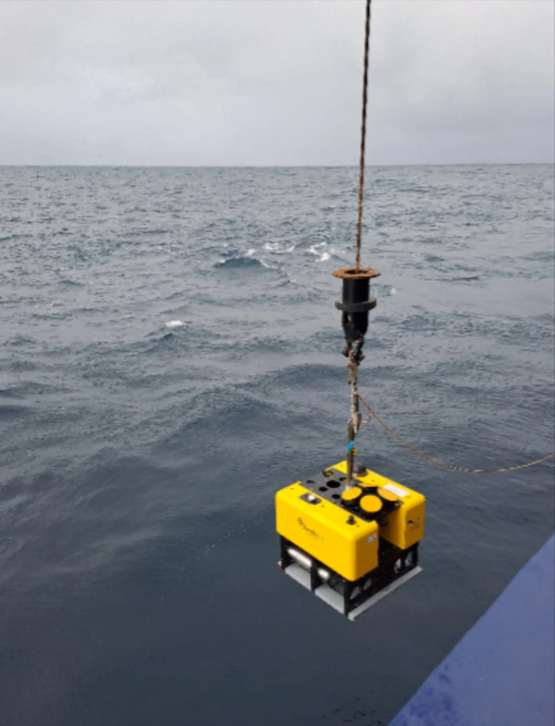
The lander being recovered from the sea. Image: Alice Lefebvre.
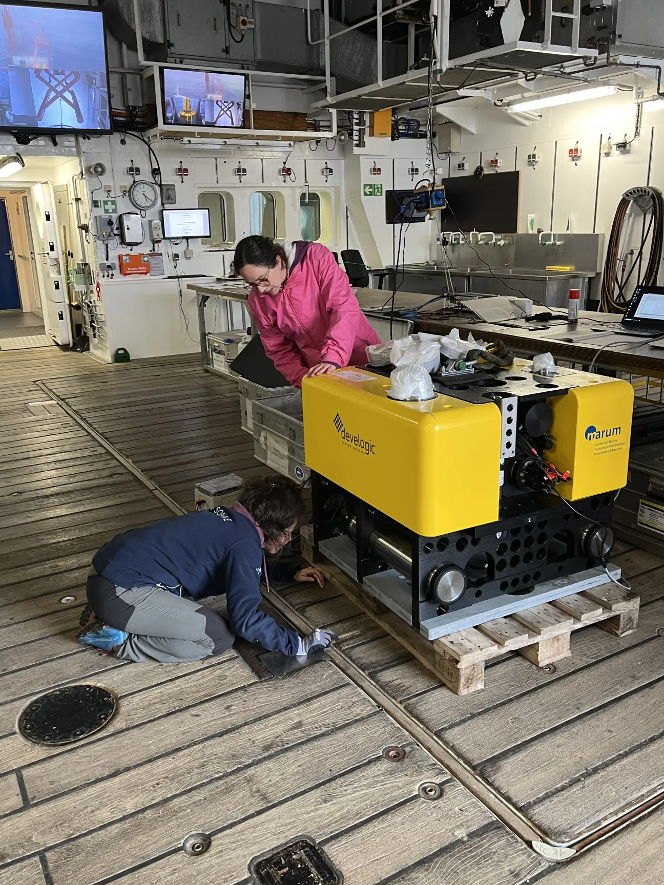
The lander being investigated by Pauline Cornard and Alice Lefebvre.
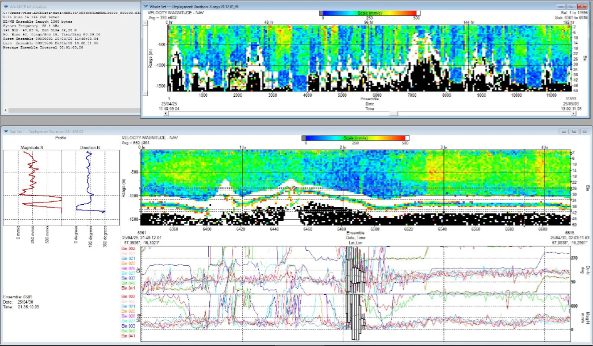
Data of the ACDP measuring water currents.
The black and white part is the seafloor and the colors indicate the different velocities of the water currents. Red is fast, green medium and blue slow. This information is subsequently also combined with the echosounder data that is used to map the seabed (cf. post from the 2nd of May). After the analysis of the research team regarding their specific research questions, this data is fed into general maps like this open-source map of sea currents.
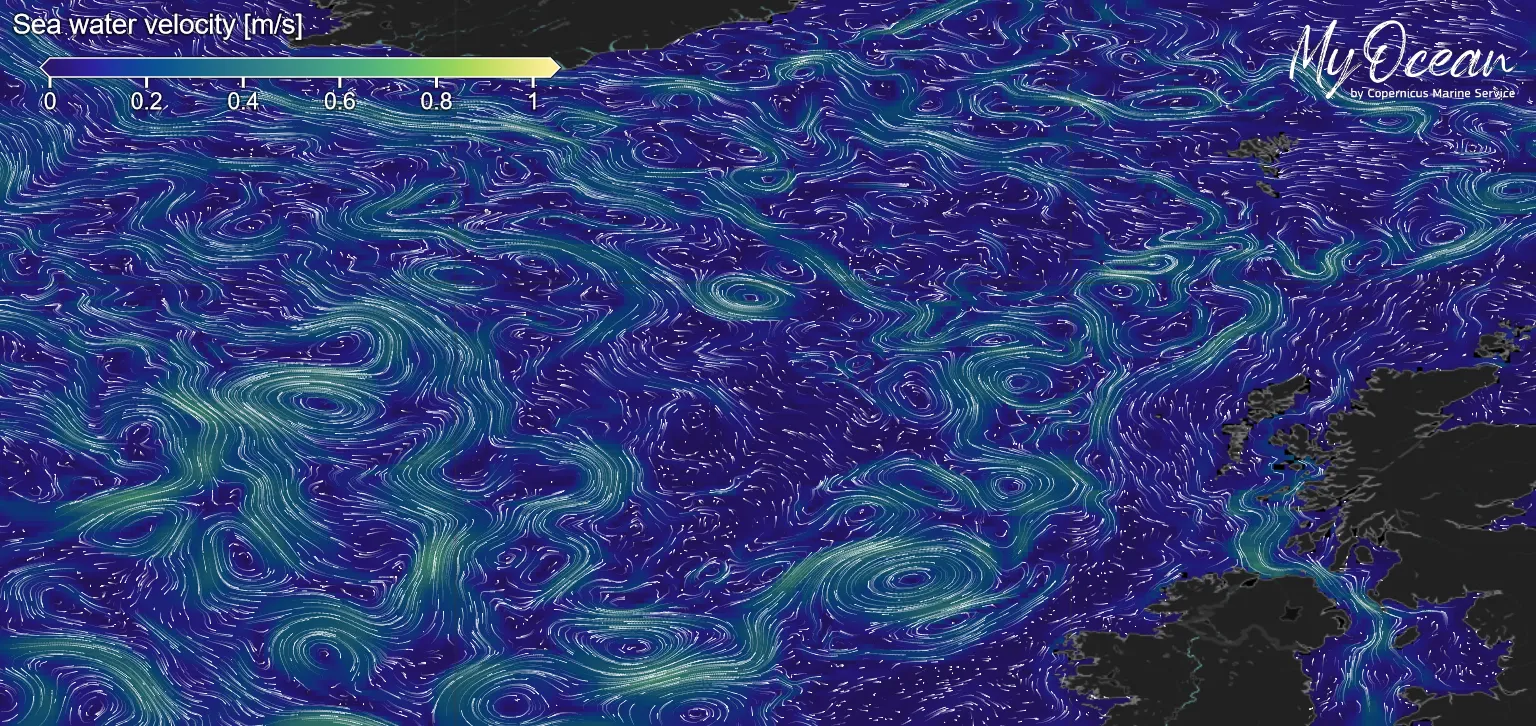
Map showing sea water velocity. Video/Image: Copernicus Marine Service.
The team of Elda Miramontes, Alice Lefebvre, Pauline Cornard and Ling Wang was very curious about the data of water velocity that the instruments collected. This is what the data looks like.
5. May: Party Time
Yesterday the last research instruments were recovered from the sea and the research phase has come to its end today. We celebrated this in the evening with pizza, drinks and music.
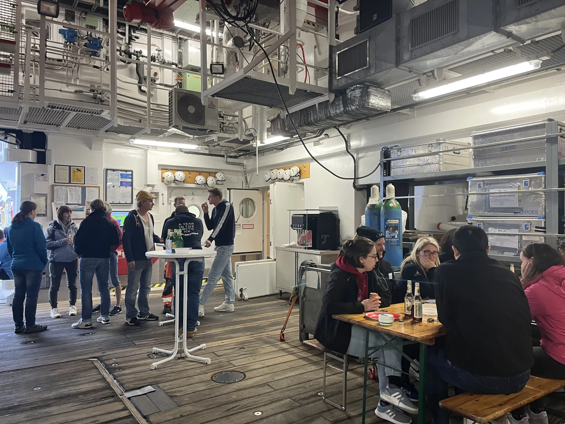
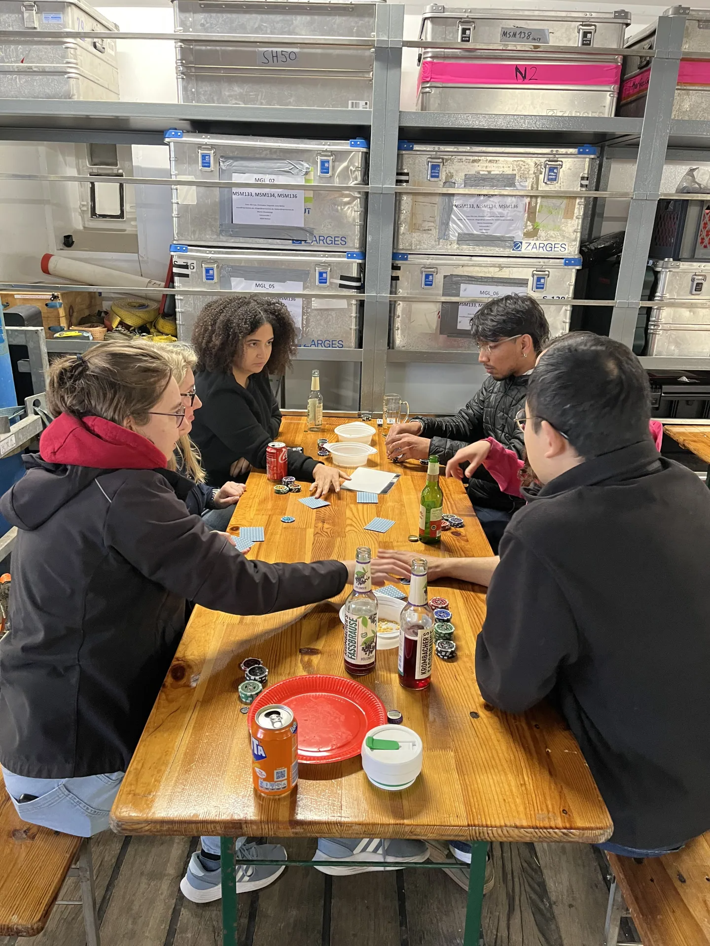
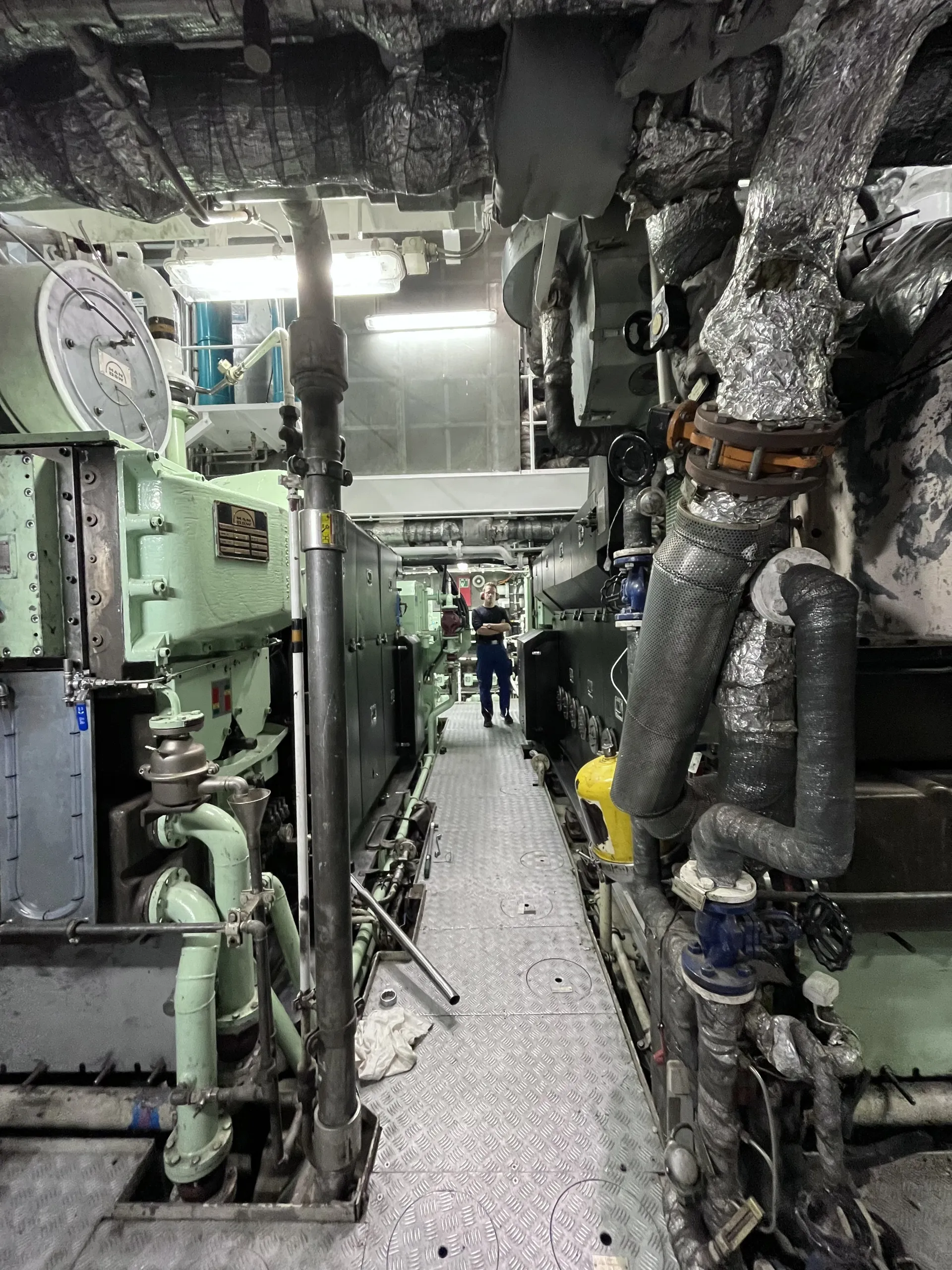
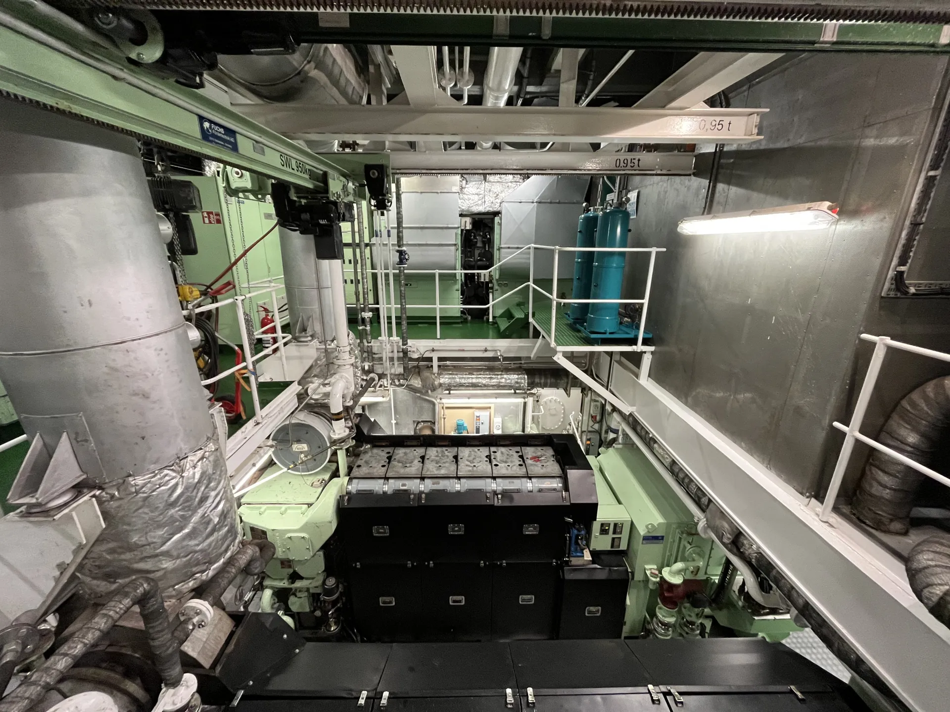
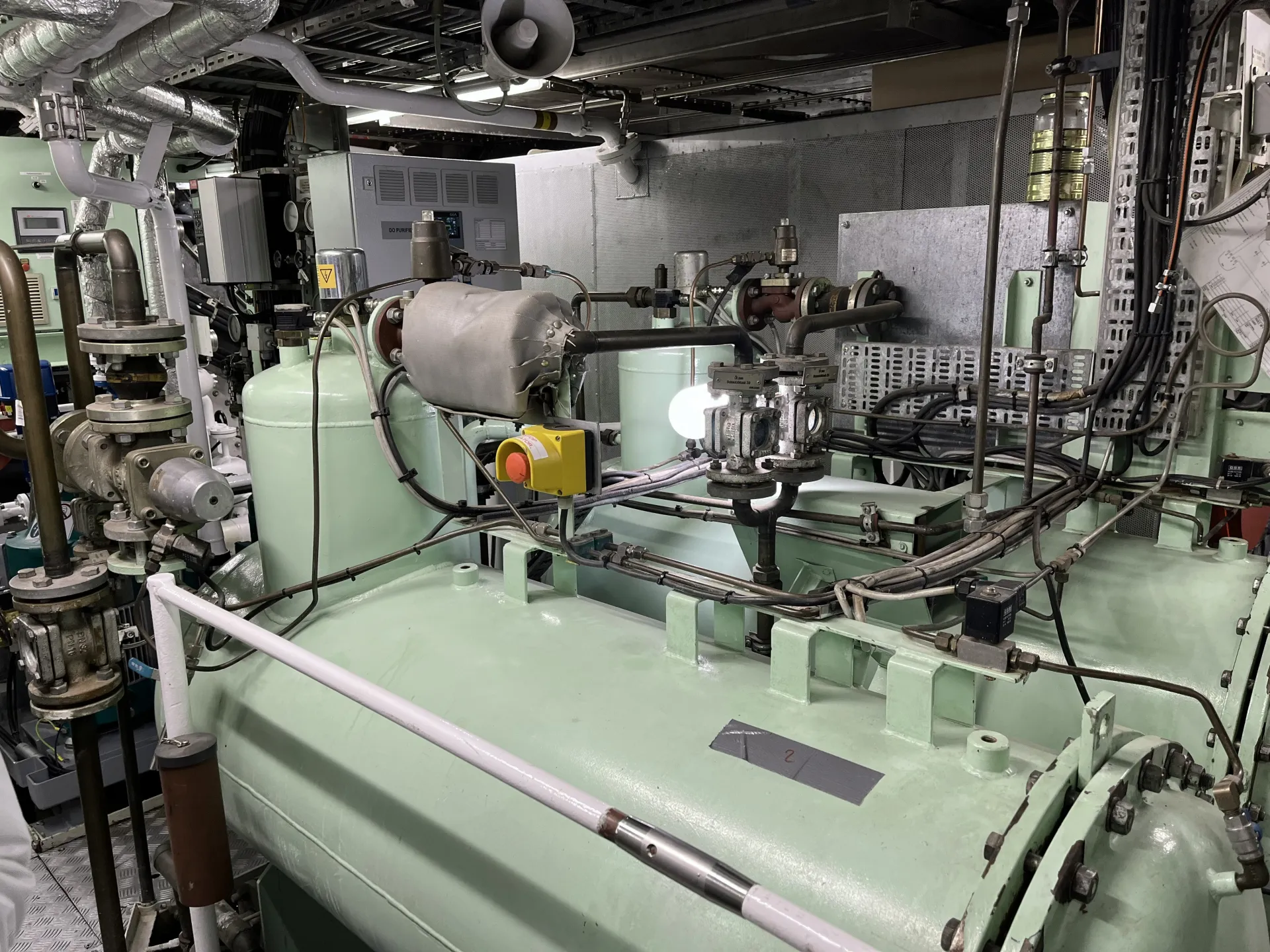
6. Mai: Packing & Visiting the engine room
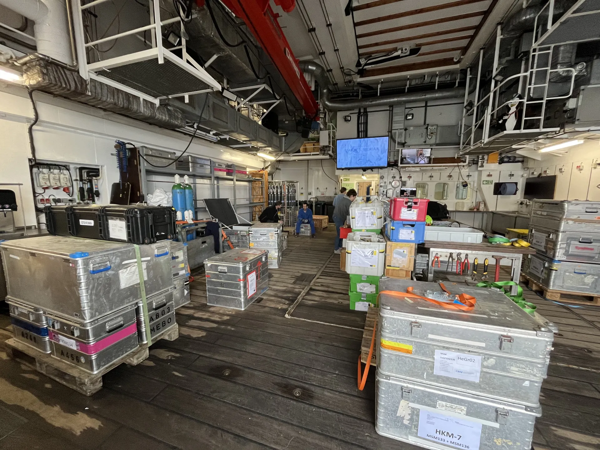
All the instruments are stored in these boxes.
Today we started packing all the research equipment to make them ready for transportation in the containers back to MARUM.
This afternoon we got a guided tour into the engine room by the crew member and engineer Hans Zimmer.
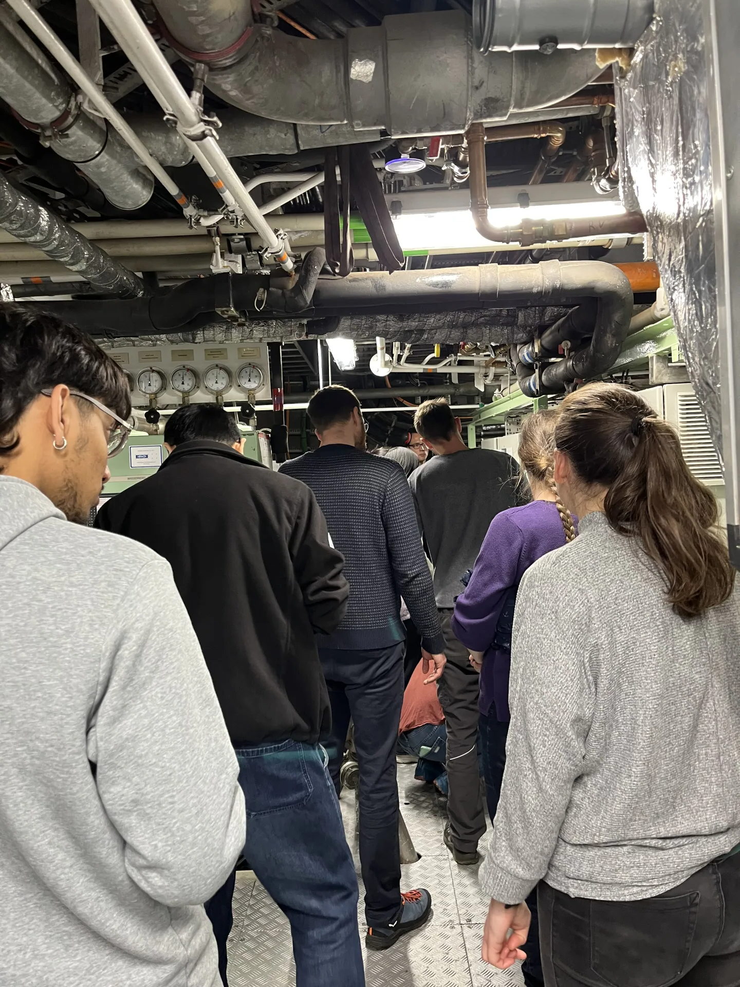
7. Mai: Arriving in Iceland
We arrived in the harbor of Reykjavík in Iceland this morning and the research cruise is now officially over.
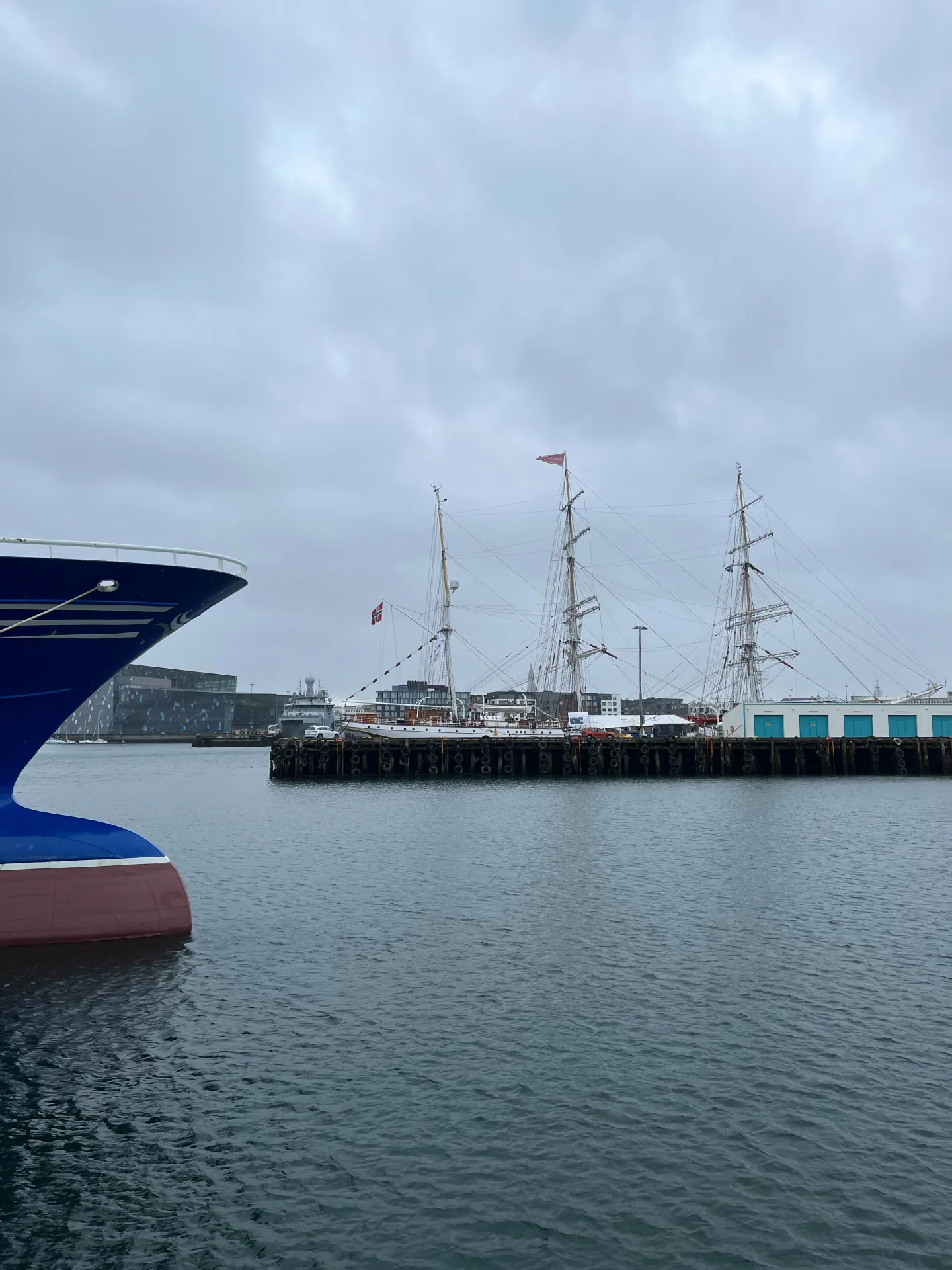
The harbor of Reykjavík
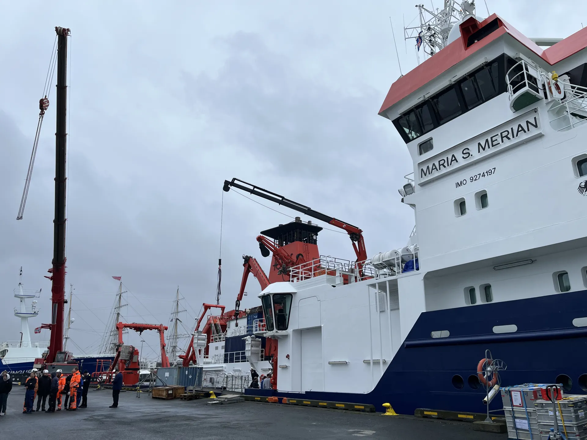
The research vessel MARIA S. MERIAN in the harbor of Reykjavík
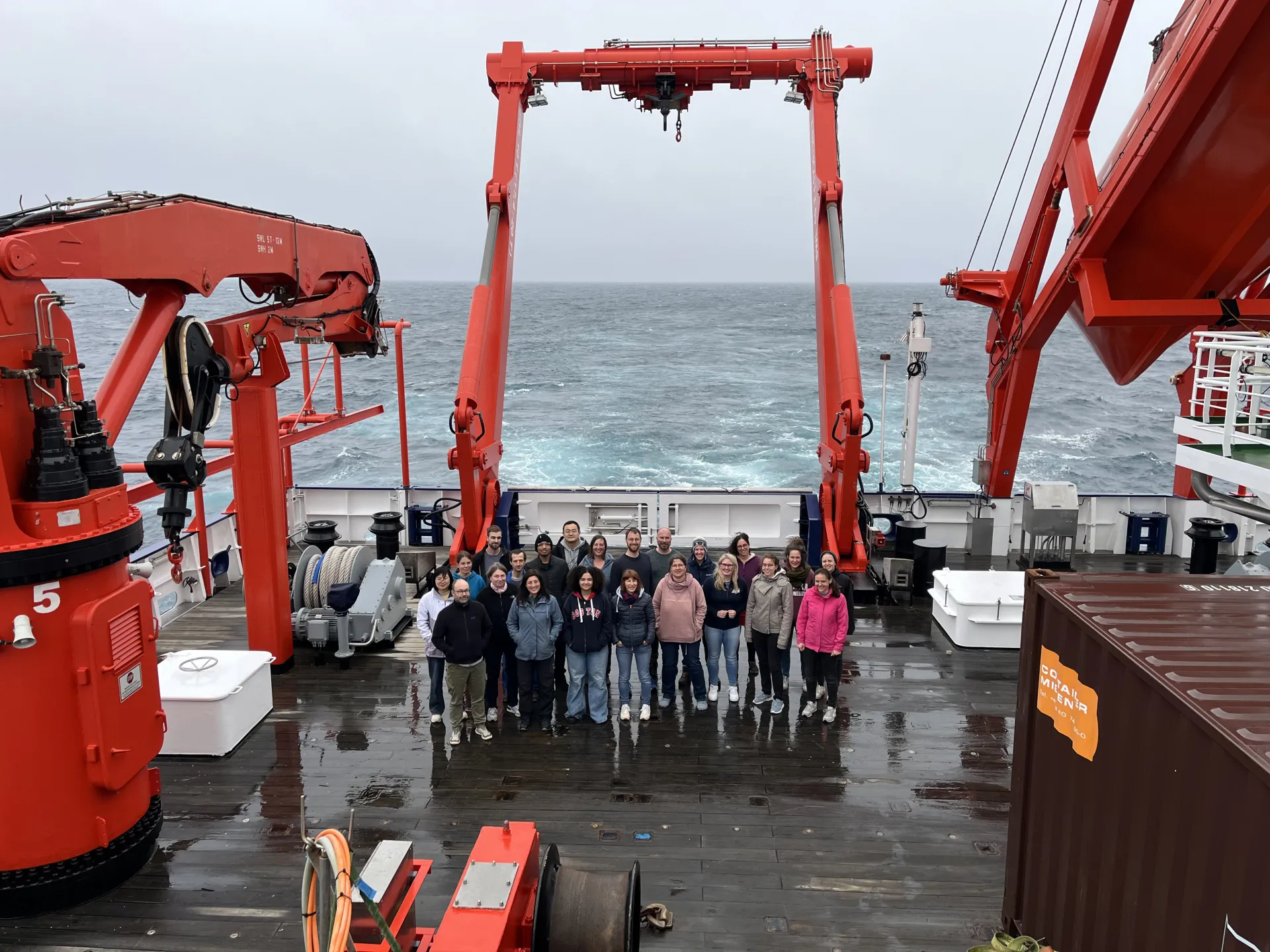
All the participants of the research cruise MSM136 LONTRA (except the crew, though).
With this last image I say goodbye to you and hope I could provide you some interesting insights into the research expedition MSM136 LONTRA.